Area Overview for CM17 9QJ
Photos of CM17 9QJ


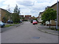

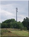

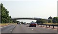
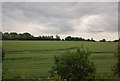
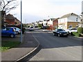
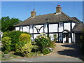

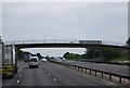
14 photos from this area
Area Information
Key information about the CM17 9QJ including its size, population, and administrative classification.
- Area Type
- Postcode
- Area Size
- 2.0 hectares
- Population
- 1763
- Population Density
- 5993 people/km²
House Prices in CM17 9QJ
71
Properties
£276,780
Average Sold Price
£85,950
Lowest Price
£565,000
Highest Price
Showing 71 properties
| Address | Type | Beds | Baths | Last Sale Price | Last Sale Date | |
|---|---|---|---|---|---|---|
| 17 Elwood, Harlow, CM17 9QJ | Detached | 3 | 2 | £360,000 | Aug 2025 | |
| 30 Elwood, Harlow, CM17 9QJ | Detached | 3 | 2 | £475,000 | Jun 2025 | |
| 13 Elwood, Harlow, CM17 9QJ | Detached | 3 | 1 | £375,000 | Jun 2025 | |
| 52 Elwood, Harlow, CM17 9QJ | Terraced | 2 | 1 | £310,000 | Nov 2024 | |
| 59 Elwood, Harlow, CM17 9QJ | Terraced | 3 | 2 | £395,000 | Aug 2024 | |
| 11 Elwood, Harlow, CM17 9QJ | Detached | 4 | 3 | £520,000 | Mar 2023 | |
| 49 Elwood, Harlow, CM17 9QJ | Semi-detached | 4 | 2 | £457,000 | Mar 2023 | |
| 20 Elwood, Harlow, CM17 9QJ | Terraced | 3 | 2 | £405,000 | Jul 2022 | |
| 14 Elwood, Harlow, CM17 9QJ | Detached | 3 | 2 | £410,000 | Dec 2021 | |
| 16 Elwood, Harlow, CM17 9QJ | house | 4 | 2 | £565,000 | Oct 2021 |
Page 1 of 8
Energy Efficiency in CM17 9QJ
Amenities
Schools
| Rank | School | Type | Entry gender | Ages |
|---|
Explore more schools in this area
Go to Schools tabDemographics
Household Size
Family (3-5 people)
most common
Accommodation Type
Houses
most common
Tenure
83
majority
Ethnic Group
White
most common
Religion
N/A
most common
Household Composition
N/A
most common
Age
47
median
Adults (30-64 years)
most common
Household Deprivation
N/A
with no deprivation
NS-SEC
37
in Lower managerial occupations
Explore more demographic insights in this area
Go to Demographics tabPlanning
Planning Constraints
- Flood RiskPremium
- Ramsar Wetland SitesPremium
- Area of Outstanding Natural BeautyPremium
- Protected Nature ReservePremium
- Protected WoodlandPremium