Area Overview for CM17 9QH
Photos of CM17 9QH
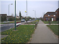
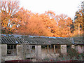
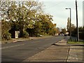
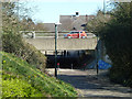
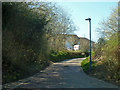
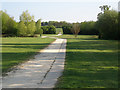
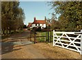
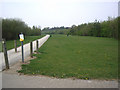
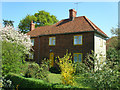
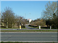
10 photos from this area
Area Information
Key information about the CM17 9QH including its size, population, and administrative classification.
- Area Type
- Postcode
- Area Size
- 2.1 hectares
- Population
- 1623
- Population Density
- 7721 people/km²
House Prices in CM17 9QH
57
Properties
£307,306
Average Sold Price
£92,500
Lowest Price
£550,000
Highest Price
Showing 57 properties
| Address | Type | Beds | Baths | Last Sale Price | Last Sale Date | |
|---|---|---|---|---|---|---|
| 72 Burley Hill, Harlow, CM17 9QH | house | - | - | £307,000 | Nov 2024 | |
| 68 Burley Hill, Harlow, CM17 9QH | Terraced | 3 | 2 | £410,000 | Sep 2024 | |
| 93 Burley Hill, Harlow, CM17 9QH | Terraced | 3 | 2 | £425,000 | May 2023 | |
| 98 Burley Hill, Harlow, CM17 9QH | Detached | 4 | 2 | £550,000 | May 2023 | |
| 86 Burley Hill, Harlow, CM17 9QH | Detached | 3 | 2 | £480,000 | May 2023 | |
| 55 Burley Hill, Harlow, CM17 9QH | house | 3 | - | £395,000 | Nov 2021 | |
| 61 Burley Hill, Harlow, CM17 9QH | house | - | - | £410,000 | Sep 2021 | |
| 99 Burley Hill, Harlow, CM17 9QH | Detached | 4 | 2 | £487,000 | Aug 2021 | |
| 56 Burley Hill, Harlow, CM17 9QH | Terraced | 2 | - | £302,000 | Mar 2021 | |
| 63 Burley Hill, Harlow, CM17 9QH | Semi-detached | 3 | 2 | £370,000 | Feb 2018 |
Page 1 of 6
Energy Efficiency in CM17 9QH
Amenities
Schools
| Rank | School | Type | Entry gender | Ages |
|---|
Explore more schools in this area
Go to Schools tabDemographics
Household Size
Family (3-5 people)
most common
Accommodation Type
Houses
most common
Tenure
77
majority
Ethnic Group
White
most common
Religion
N/A
most common
Household Composition
N/A
most common
Age
47
median
Adults (30-64 years)
most common
Household Deprivation
N/A
with no deprivation
NS-SEC
36
in Lower managerial occupations
Explore more demographic insights in this area
Go to Demographics tabPlanning
Planning Constraints
- Flood RiskPremium
- Ramsar Wetland SitesPremium
- Area of Outstanding Natural BeautyPremium
- Protected Nature ReservePremium
- Protected WoodlandPremium