Area Overview for CM16 7LS
Photos of CM16 7LS
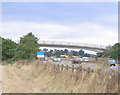
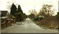
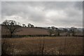
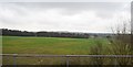
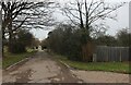
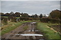

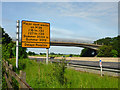
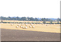

19 photos from this area
Area Information
Key information about the CM16 7LS including its size, population, and administrative classification.
- Area Type
- Postcode
- Area Size
- 84.2 hectares
- Population
- 1324
- Population Density
- 781 people/km²
House Prices in CM16 7LS
27
Properties
£576,000
Average Sold Price
£130,000
Lowest Price
£1,515,000
Highest Price
Showing 27 properties
| Address | Type | Beds | Baths | Last Sale Price | Last Sale Date | |
|---|---|---|---|---|---|---|
| 87 Theydon Park Road, Theydon Bois, Epping, CM16 7LS | Detached | 5 | 3 | £1,515,000 | Jun 2021 | |
| Albanridge, Theydon Park Road, Theydon Bois, Epping, CM16 7LS | Detached | 5 | 2 | £720,000 | Jun 2021 | |
| 83A Theydon Park Road, Theydon Bois, Epping, CM16 7LS | Detached | 3 | - | £650,000 | Apr 2015 | |
| 105 Theydon Park Road, Theydon Bois, Epping, CM16 7LS | Detached | - | - | £732,500 | Jan 2015 | |
| Wytegates, 121 Theydon Park Road, Theydon Bois, Epping, CM16 7LS | Bungalow | - | - | £445,000 | Aug 2013 | |
| Ulu Bernham, Theydon Park Road, Theydon Bois, Epping, CM16 7LS | house | - | - | £550,000 | Mar 2012 | |
| 85A Theydon Park Road, Theydon Bois, Epping, CM16 7LS | Detached | 4 | 2 | £650,000 | May 2008 | |
| Auchinleck, Theydon Park Road, Theydon Bois, Epping, CM16 7LS | Bungalow | 4 | 1 | £308,000 | Jul 2007 | |
| 81 Theydon Park Road, Theydon Bois, Epping, CM16 7LS | Detached | 4 | 3 | £380,000 | Mar 2006 | |
| 83 Theydon Park Road, Theydon Bois, Epping, CM16 7LS | Detached | - | - | £630,000 | Jun 2005 |
Page 1 of 3
Energy Efficiency in CM16 7LS
Amenities
Schools
| Rank | School | Type | Entry gender | Ages |
|---|
Explore more schools in this area
Go to Schools tabDemographics
Household Size
Family (3-5 people)
most common
Accommodation Type
Houses
most common
Tenure
76
majority
Ethnic Group
White
most common
Religion
N/A
most common
Household Composition
N/A
most common
Age
47
median
Adults (30-64 years)
most common
Household Deprivation
N/A
with no deprivation
NS-SEC
43
in Lower managerial occupations
Explore more demographic insights in this area
Go to Demographics tabPlanning
Planning Constraints
- Flood RiskPremium
- Ramsar Wetland SitesPremium
- Area of Outstanding Natural BeautyPremium
- Protected Nature ReservePremium
- Protected WoodlandPremium