Area Overview for CM16 5BH
Photos of CM16 5BH
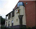
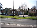
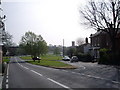
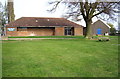
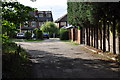
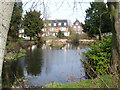
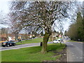
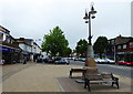
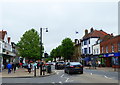
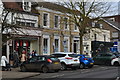
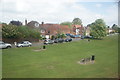
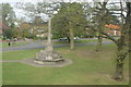
80 photos from this area
Area Information
Key information about the CM16 5BH including its size, population, and administrative classification.
- Area Type
- Postcode
- Area Size
- 1.1 hectares
- Population
- 1530
- Population Density
- 1061 people/km²
House Prices in CM16 5BH
23
Properties
£363,859
Average Sold Price
£83,000
Lowest Price
£675,000
Highest Price
Showing 23 properties
| Address | Type | Beds | Baths | Last Sale Price | Last Sale Date | |
|---|---|---|---|---|---|---|
| 8 Shaftesbury Road, Epping, CM16 5BH | Semi-detached | 2 | 2 | £570,000 | Nov 2023 | |
| 13 Shaftesbury Road, Epping, CM16 5BH | Semi-detached | 3 | 1 | £567,000 | Dec 2022 | |
| 26 Shaftesbury Road, Epping, CM16 5BH | Semi-detached | 3 | - | £675,000 | Sep 2021 | |
| 2 Shaftesbury Road, Epping, CM16 5BH | house | - | - | £405,000 | Oct 2019 | |
| 4 Shaftesbury Road, Epping, CM16 5BH | Semi-detached | 2 | 1 | £410,000 | May 2019 | |
| 20 Shaftesbury Road, Epping, CM16 5BH | Semi-detached | 3 | 1 | £425,000 | Nov 2017 | |
| 16 Shaftesbury Road, Epping, CM16 5BH | house | - | - | £360,000 | Jul 2013 | |
| 21 Shaftesbury Road, Epping, CM16 5BH | Semi-detached | - | - | £249,950 | Jan 2006 | |
| 25 Shaftesbury Road, Epping, CM16 5BH | Semi-detached | 5 | - | £135,000 | Jul 2001 | |
| 24 Shaftesbury Road, Epping, CM16 5BH | Semi-detached | - | - | £83,000 | Jul 1997 |
Page 1 of 3
Energy Efficiency in CM16 5BH
Amenities
Schools
| Rank | School | Type | Entry gender | Ages |
|---|
Explore more schools in this area
Go to Schools tabDemographics
Household Size
Family (3-5 people)
most common
Accommodation Type
Houses
most common
Tenure
77
majority
Ethnic Group
White
most common
Religion
N/A
most common
Household Composition
N/A
most common
Age
47
median
Adults (30-64 years)
most common
Household Deprivation
N/A
with no deprivation
NS-SEC
41
in Lower managerial occupations
Explore more demographic insights in this area
Go to Demographics tabPlanning
Planning Constraints
- Flood RiskPremium
- Ramsar Wetland SitesPremium
- Area of Outstanding Natural BeautyPremium
- Protected Nature ReservePremium
- Protected WoodlandPremium