Area Overview for CM16 4NH
Photos of CM16 4NH
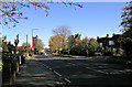
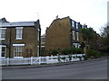
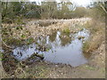
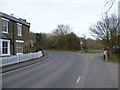
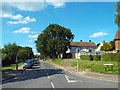
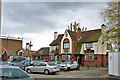
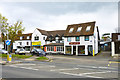
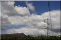
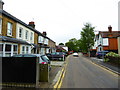
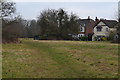
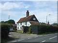
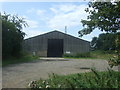
86 photos from this area
Area Information
Key information about the CM16 4NH including its size, population, and administrative classification.
- Area Type
- Postcode
- Area Size
- 5.6 hectares
- Population
- Not available
- Population Density
- Not available
House Prices in CM16 4NH
23
Properties
£650,055
Average Sold Price
£141,000
Lowest Price
£1,500,000
Highest Price
Showing 23 properties
| Address | Type | Beds | Baths | Last Sale Price | Last Sale Date | |
|---|---|---|---|---|---|---|
| 12 Theydon Place, Epping, CM16 4NH | house | 5 | 3 | £1,500,000 | Nov 2024 | |
| 8 Theydon Place, Epping, CM16 4NH | Bungalow | - | - | £865,000 | Mar 2022 | |
| 14 Theydon Place, Epping, CM16 4NH | Detached | 4 | 2 | £1,050,000 | Jun 2021 | |
| 6 Theydon Place, Epping, CM16 4NH | Bungalow | 4 | 3 | £1,100,000 | Oct 2018 | |
| 15 Theydon Place, Epping, CM16 4NH | Detached | 3 | 2 | £880,000 | Apr 2017 | |
| 5 Theydon Place, Epping, CM16 4NH | Bungalow | 3 | 2 | £830,000 | Oct 2016 | |
| 4 Theydon Place, Epping, CM16 4NH | Bungalow | 3 | 1 | £759,995 | Aug 2015 | |
| 11 Theydon Place, Epping, CM16 4NH | Bungalow | 3 | 1 | £700,000 | Jun 2015 | |
| 19 Theydon Place, Epping, CM16 4NH | Bungalow | 3 | - | £540,000 | Aug 2014 | |
| 21 Theydon Place, Epping, CM16 4NH | Bungalow | 2 | - | £475,000 | Sep 2011 |
Page 1 of 3
Energy Efficiency in CM16 4NH
Amenities
Schools
| Rank | School | Type | Entry gender | Ages |
|---|
Explore more schools in this area
Go to Schools tabDemographics
Household Size
One person
most common
Accommodation Type
Houses
most common
Tenure
47
majority
Ethnic Group
White
most common
Religion
N/A
most common
Household Composition
N/A
most common
Age
47
median
Adults (30-64 years)
most common
Household Deprivation
N/A
with no deprivation
NS-SEC
37
in Lower managerial occupations
Explore more demographic insights in this area
Go to Demographics tabPlanning
Planning Constraints
- Flood RiskPremium
- Ramsar Wetland SitesPremium
- Area of Outstanding Natural BeautyPremium
- Protected Nature ReservePremium
- Protected WoodlandPremium