Area Overview for CM15 9SG
Photos of CM15 9SG
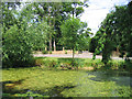
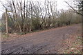
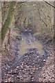
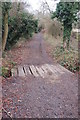
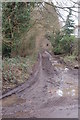
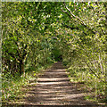
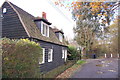
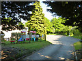
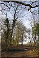
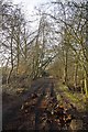
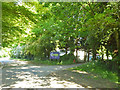
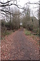
13 photos from this area
Area Information
Key information about the CM15 9SG including its size, population, and administrative classification.
- Area Type
- Postcode
- Area Size
- 28.2 hectares
- Population
- 1607
- Population Density
- 695 people/km²
House Prices in CM15 9SG
34
Properties
£422,639
Average Sold Price
£120,000
Lowest Price
£960,000
Highest Price
Showing 34 properties
| Address | Type | Beds | Baths | Last Sale Price | Last Sale Date | |
|---|---|---|---|---|---|---|
| Elmcroft, Ashwells Road, Pilgrims Hatch, CM15 9SG | Semi-detached | 4 | 2 | £960,000 | Jul 2024 | |
| Conifers, Ashwells Road, Pilgrims Hatch, CM15 9SG | Bungalow | - | - | £450,750 | Jul 2022 | |
| The Warren, Ashwells Road, Pilgrims Hatch, CM15 9SG | Detached | - | - | £640,000 | Oct 2007 | |
| Vine Sapling, Ashwells Road, Pilgrims Hatch, CM15 9SG | house | 1 | 2 | £453,000 | Sep 2005 | |
| Well Lane Cottage, Ashwells Road, Pilgrims Hatch, CM15 9SG | Detached | - | - | £275,000 | Dec 2002 | |
| Erin, Ashwells Road, Pilgrims Hatch, CM15 9SG | Bungalow | - | - | £310,000 | Aug 2000 | |
| Hedgerow, Ashwells Road, Pilgrims Hatch, CM15 9SG | Detached | - | - | £420,000 | Jun 1999 | |
| Chippings, Ashwells Road, Pilgrims Hatch, CM15 9SG | Semi-detached | 4 | - | £175,000 | May 1998 | |
| Three Clovers Farm, Ashwells Road, Pilgrims Hatch, CM15 9SG | Bungalow | 4 | 2 | £120,000 | Mar 1997 | |
| 2, Bleak Cottages, Ashwells Road, Pilgrims Hatch, CM15 9SG | Semi-detached | 3 | 1 | - | - |
Page 1 of 4
Energy Efficiency in CM15 9SG
Amenities
Schools
| Rank | School | Type | Entry gender | Ages |
|---|
Explore more schools in this area
Go to Schools tabDemographics
Household Size
Family (3-5 people)
most common
Accommodation Type
Houses
most common
Tenure
76
majority
Ethnic Group
White
most common
Religion
N/A
most common
Household Composition
N/A
most common
Age
47
median
Adults (30-64 years)
most common
Household Deprivation
N/A
with no deprivation
NS-SEC
33
in Lower managerial occupations
Explore more demographic insights in this area
Go to Demographics tabPlanning
Planning Constraints
- Flood RiskPremium
- Ramsar Wetland SitesPremium
- Area of Outstanding Natural BeautyPremium
- Protected Nature ReservePremium
- Protected WoodlandPremium