Area Overview for CM15 9DL
Photos of CM15 9DL
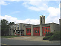
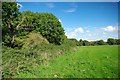
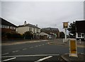
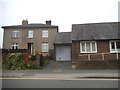
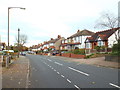
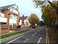
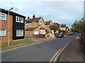
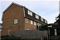
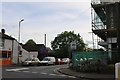
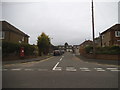
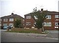
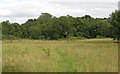
20 photos from this area
Area Information
Key information about the CM15 9DL including its size, population, and administrative classification.
- Area Type
- Postcode
- Area Size
- 1.3 hectares
- Population
- 1650
- Population Density
- 2597 people/km²
House Prices in CM15 9DL
24
Properties
£444,944
Average Sold Price
£136,000
Lowest Price
£710,000
Highest Price
Showing 24 properties
| Address | Type | Beds | Baths | Last Sale Price | Last Sale Date | |
|---|---|---|---|---|---|---|
| 137 Ongar Road, Brentwood, CM15 9DL | Detached | 3 | 1 | £607,500 | Nov 2025 | |
| 163 Ongar Road, Brentwood, CM15 9DL | Semi-detached | 5 | 2 | £710,000 | Aug 2023 | |
| 151 Ongar Road, Brentwood, CM15 9DL | house | - | - | £630,000 | Jun 2019 | |
| 147 Ongar Road, Brentwood, CM15 9DL | Semi-detached | 4 | 3 | £565,000 | Aug 2016 | |
| 143 Ongar Road, Brentwood, CM15 9DL | Semi-detached | 4 | 2 | £483,000 | Oct 2014 | |
| 165A Ongar Road, Brentwood, CM15 9DL | Maisonette | 2 | - | £218,000 | Dec 2013 | |
| 161 Ongar Road, Brentwood, CM15 9DL | house | - | - | £300,000 | Jun 2004 | |
| 167 Ongar Road, Brentwood, CM15 9DL | Detached | - | - | £355,000 | May 2004 | |
| 133 Ongar Road, Brentwood, CM15 9DL | Detached | - | - | £136,000 | Mar 1998 | |
| 145 Ongar Road, Brentwood, CM15 9DL | Semi-detached | 4 | 1 | - | - |
Page 1 of 3
Energy Efficiency in CM15 9DL
Amenities
Schools
| Rank | School | Type | Entry gender | Ages |
|---|
Explore more schools in this area
Go to Schools tabDemographics
Household Size
Family (3-5 people)
most common
Accommodation Type
Houses
most common
Tenure
79
majority
Ethnic Group
White
most common
Religion
N/A
most common
Household Composition
N/A
most common
Age
47
median
Adults (30-64 years)
most common
Household Deprivation
N/A
with no deprivation
NS-SEC
45
in Lower managerial occupations
Explore more demographic insights in this area
Go to Demographics tabPlanning
Planning Constraints
- Flood RiskPremium
- Ramsar Wetland SitesPremium
- Area of Outstanding Natural BeautyPremium
- Protected Nature ReservePremium
- Protected WoodlandPremium