Area Overview for CM15 9AA
Photos of CM15 9AA
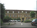
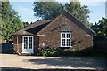
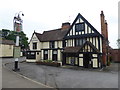
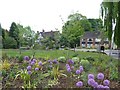
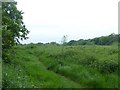
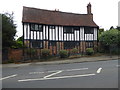
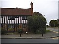
29 photos from this area
Area Information
Key information about the CM15 9AA including its size, population, and administrative classification.
- Area Type
- Postcode
- Area Size
- 2.9 hectares
- Population
- 1748
- Population Density
- 1885 people/km²
House Prices in CM15 9AA
8
Properties
£1,471,250
Average Sold Price
£1,200,000
Lowest Price
£1,775,000
Highest Price
Showing 8 properties
| Address | Type | Beds | Baths | Last Sale Price | Last Sale Date | |
|---|---|---|---|---|---|---|
| The Warrens, Hallwood Crescent, Shenfield, CM15 9AA | Detached | 5 | 1 | £1,775,000 | Jul 2013 | |
| Willow Lodge, Hallwood Crescent, Shenfield, CM15 9AA | Detached | 5 | 5 | £1,310,000 | Nov 2012 | |
| Gomeldon, 2 Hallwood Crescent, Shenfield, CM15 9AA | house | - | - | £1,600,000 | Dec 2009 | |
| 1 Hallwood Crescent, Shenfield, CM15 9AA | Detached | 4 | - | £1,200,000 | Jul 2009 | |
| Amberlie, 3 Hallwood Crescent, Shenfield, CM15 9AA | house | - | - | - | - | |
| L Etranger, Hallwood Crescent, Shenfield, CM15 9AA | Detached | - | - | - | - | |
| The Lembic, Hallwood Crescent, Shenfield, CM15 9AA | Detached | - | - | - | - | |
| Ashdown House, Hallwood Crescent, Shenfield, CM15 9AA | Detached | - | - | - | - |
Energy Efficiency in CM15 9AA
Amenities
Schools
| Rank | School | Type | Entry gender | Ages |
|---|
Explore more schools in this area
Go to Schools tabDemographics
Household Size
Family (3-5 people)
most common
Accommodation Type
Houses
most common
Tenure
94
majority
Ethnic Group
White
most common
Religion
N/A
most common
Household Composition
N/A
most common
Age
47
median
Adults (30-64 years)
most common
Household Deprivation
N/A
with no deprivation
NS-SEC
58
in Lower managerial occupations
Explore more demographic insights in this area
Go to Demographics tabPlanning
Planning Constraints
- Flood RiskPremium
- Ramsar Wetland SitesPremium
- Area of Outstanding Natural BeautyPremium
- Protected Nature ReservePremium
- Protected WoodlandPremium