Area Overview for CM15 8PG
Photos of CM15 8PG
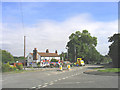
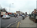
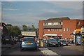
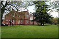
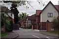
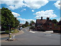
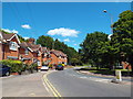
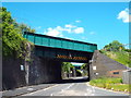
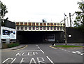
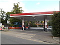
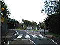
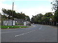
60 photos from this area
Area Information
Key information about the CM15 8PG including its size, population, and administrative classification.
- Area Type
- Postcode
- Area Size
- 3.0 hectares
- Population
- 1779
- Population Density
- 431 people/km²
House Prices in CM15 8PG
61
Properties
£446,389
Average Sold Price
£113,500
Lowest Price
£733,500
Highest Price
Showing 61 properties
| Address | Type | Beds | Baths | Last Sale Price | Last Sale Date | |
|---|---|---|---|---|---|---|
| 129 Hunter Avenue, Shenfield, CM15 8PG | Detached | 3 | 2 | £733,500 | Aug 2025 | |
| 118 Hunter Avenue, Shenfield, CM15 8PG | Semi-detached | 3 | 1 | £590,000 | Mar 2025 | |
| 122 Hunter Avenue, Shenfield, CM15 8PG | Semi-detached | 5 | 1 | £675,000 | Dec 2024 | |
| 97 Hunter Avenue, Shenfield, CM15 8PG | Detached | 4 | 2 | £678,000 | Jun 2023 | |
| 133 Hunter Avenue, Shenfield, CM15 8PG | Retail | 4 | 2 | £650,000 | Nov 2022 | |
| 74 Hunter Avenue, Shenfield, CM15 8PG | Bungalow | 2 | 1 | £575,000 | Nov 2022 | |
| 131 Hunter Avenue, Shenfield, CM15 8PG | Semi-detached | 4 | 2 | £685,000 | Aug 2022 | |
| 111 Hunter Avenue, Shenfield, CM15 8PG | Semi-detached | 4 | 3 | £600,000 | Jun 2021 | |
| 109 Hunter Avenue, Shenfield, CM15 8PG | house | - | - | £612,500 | May 2021 | |
| 123 Hunter Avenue, Shenfield, CM15 8PG | Semi-detached | 4 | - | £360,000 | Apr 2021 |
Page 1 of 7
Energy Efficiency in CM15 8PG
Amenities
Schools
| Rank | School | Type | Entry gender | Ages |
|---|
Explore more schools in this area
Go to Schools tabDemographics
Household Size
Family (3-5 people)
most common
Accommodation Type
Houses
most common
Tenure
92
majority
Ethnic Group
White
most common
Religion
N/A
most common
Household Composition
N/A
most common
Age
47
median
Adults (30-64 years)
most common
Household Deprivation
N/A
with no deprivation
NS-SEC
54
in Lower managerial occupations
Explore more demographic insights in this area
Go to Demographics tabPlanning
Planning Constraints
- Flood RiskPremium
- Ramsar Wetland SitesPremium
- Area of Outstanding Natural BeautyPremium
- Protected Nature ReservePremium
- Protected WoodlandPremium