Area Overview for CM15 8BG
Photos of CM15 8BG
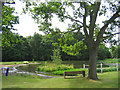
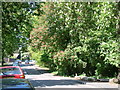
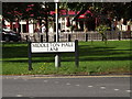
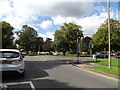
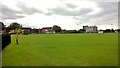
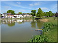
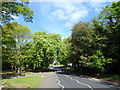
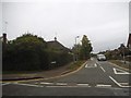
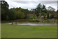
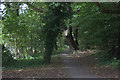
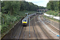
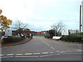
31 photos from this area
Area Information
Key information about the CM15 8BG including its size, population, and administrative classification.
- Area Type
- Postcode
- Area Size
- 2.3 hectares
- Population
- 1878
- Population Density
- 2342 people/km²
House Prices in CM15 8BG
9
Properties
£492,500
Average Sold Price
£335,000
Lowest Price
£838,000
Highest Price
Showing 9 properties
| Address | Type | Beds | Baths | Last Sale Price | Last Sale Date | |
|---|---|---|---|---|---|---|
| Kumalo, Riseway, Brentwood, CM15 8BG | Detached | 4 | 2 | £838,000 | Oct 2015 | |
| Brook Lodge, Riseway, Brentwood, CM15 8BG | house | 5 | - | £665,000 | Dec 2011 | |
| Felden, Riseway, Brentwood, CM15 8BG | house | - | - | £420,000 | Jul 2009 | |
| Rosedene, Riseway, Brentwood, CM15 8BG | Detached | - | - | £352,000 | Feb 2005 | |
| Artemis, Riseway, Brentwood, CM15 8BG | Detached | 4 | 3 | £335,000 | Feb 2002 | |
| Candleford, Riseway, Brentwood, CM15 8BG | Detached | 4 | 3 | £345,000 | Feb 2001 | |
| Endeavour School Bungalow, Hogarth Avenue, Brentwood, CM15 8BG | undefined | - | - | - | - | |
| Pooks Hill, Riseway, Brentwood, CM15 8BG | Detached | - | - | - | - | |
| San Vito, Riseway, Brentwood, CM15 8BG | house | - | - | - | - |
Energy Efficiency in CM15 8BG
Amenities
Schools
| Rank | School | Type | Entry gender | Ages |
|---|
Explore more schools in this area
Go to Schools tabDemographics
Household Size
Family (3-5 people)
most common
Accommodation Type
Houses
most common
Tenure
64
majority
Ethnic Group
White
most common
Religion
N/A
most common
Household Composition
N/A
most common
Age
47
median
Adults (30-64 years)
most common
Household Deprivation
N/A
with no deprivation
NS-SEC
40
in Lower managerial occupations
Explore more demographic insights in this area
Go to Demographics tabPlanning
Planning Constraints
- Flood RiskPremium
- Ramsar Wetland SitesPremium
- Area of Outstanding Natural BeautyPremium
- Protected Nature ReservePremium
- Protected WoodlandPremium