Area Overview for CM15 0RU
Photos of CM15 0RU
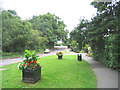
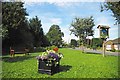

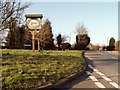
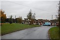
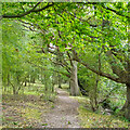
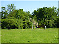
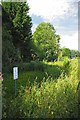
12 photos from this area
Area Information
Key information about the CM15 0RU including its size, population, and administrative classification.
- Area Type
- Postcode
- Area Size
- 11.6 hectares
- Population
- 1274
- Population Density
- 1945 people/km²
House Prices in CM15 0RU
7
Properties
£525,583
Average Sold Price
£145,500
Lowest Price
£950,000
Highest Price
Showing 7 properties
| Address | Type | Beds | Baths | Last Sale Price | Last Sale Date | |
|---|---|---|---|---|---|---|
| Hermes, Brook Lane, Doddinghurst, CM15 0RU | Bungalow | 3 | 2 | £880,000 | Mar 2019 | |
| Holmfield, Brook Lane, Doddinghurst, CM15 0RU | Detached | 5 | - | £950,000 | Jan 2015 | |
| Brookside, Brook Lane, Doddinghurst, CM15 0RU | Bungalow | 4 | - | £500,000 | Sep 2012 | |
| Belle Vue, Brook Lane, Doddinghurst, CM15 0RU | Bungalow | - | - | £500,000 | Jul 2012 | |
| Brook Cottage, Brook Lane, Doddinghurst, CM15 0RU | Detached | - | - | £178,000 | Oct 1997 | |
| Evelyn Cottage, Brook Lane, Doddinghurst, CM15 0RU | Detached | - | - | £145,500 | Sep 1995 | |
| Brookhurst, Brook Lane, Doddinghurst, CM15 0RU | house | - | - | - | - |
Energy Efficiency in CM15 0RU
Amenities
Schools
| Rank | School | Type | Entry gender | Ages |
|---|
Explore more schools in this area
Go to Schools tabDemographics
Household Size
Family (3-5 people)
most common
Accommodation Type
Houses
most common
Tenure
95
majority
Ethnic Group
White
most common
Religion
N/A
most common
Household Composition
N/A
most common
Age
47
median
Adults (30-64 years)
most common
Household Deprivation
N/A
with no deprivation
NS-SEC
42
in Lower managerial occupations
Explore more demographic insights in this area
Go to Demographics tabPlanning
Planning Constraints
- Flood RiskPremium
- Ramsar Wetland SitesPremium
- Area of Outstanding Natural BeautyPremium
- Protected Nature ReservePremium
- Protected WoodlandPremium