Area Overview for CM15 0QU
Photos of CM15 0QU
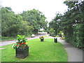
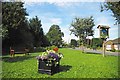
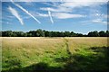
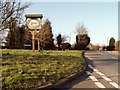
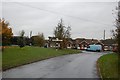
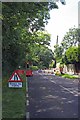
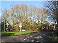
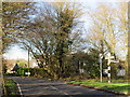
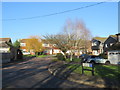
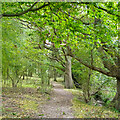
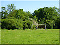
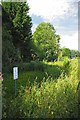
12 photos from this area
Area Information
Key information about the CM15 0QU including its size, population, and administrative classification.
- Area Type
- Postcode
- Area Size
- 6246 m²
- Population
- 1274
- Population Density
- 1945 people/km²
House Prices in CM15 0QU
12
Properties
£368,136
Average Sold Price
£107,000
Lowest Price
£825,000
Highest Price
Showing 12 properties
| Address | Type | Beds | Baths | Last Sale Price | Last Sale Date | |
|---|---|---|---|---|---|---|
| Ethelbert, Doddinghurst Road, Doddinghurst, CM15 0QU | Semi-detached | 2 | 1 | £440,000 | May 2023 | |
| Kemara, Doddinghurst Road, Doddinghurst, CM15 0QU | Semi-detached | 2 | 1 | £450,000 | May 2023 | |
| Rosewood, Doddinghurst Road, Doddinghurst, CM15 0QU | Bungalow | - | - | £420,000 | Jun 2021 | |
| Peartree View, Doddinghurst Road, Doddinghurst, CM15 0QU | Bungalow | - | - | £405,000 | May 2021 | |
| Bradstock, Doddinghurst Road, Doddinghurst, CM15 0QU | Semi-detached | 3 | 1 | £485,000 | Mar 2021 | |
| Willow Trees, Doddinghurst Road, Doddinghurst, CM15 0QU | house | - | - | £825,000 | May 2019 | |
| Fourways, Doddinghurst Road, Doddinghurst, CM15 0QU | Bungalow | - | - | £325,000 | Mar 2016 | |
| Laterre, Doddinghurst Road, Doddinghurst, CM15 0QU | Bungalow | - | - | £235,000 | Mar 2013 | |
| Nova, Doddinghurst Road, Doddinghurst, CM15 0QU | Semi-detached | - | - | £227,500 | Jul 2007 | |
| Woodstock, Doddinghurst Road, Doddinghurst, CM15 0QU | Semi-detached | - | - | £107,000 | Jan 2000 |
Page 1 of 2
Energy Efficiency in CM15 0QU
Amenities
Schools
| Rank | School | Type | Entry gender | Ages |
|---|
Explore more schools in this area
Go to Schools tabDemographics
Household Size
Family (3-5 people)
most common
Accommodation Type
Houses
most common
Tenure
95
majority
Ethnic Group
White
most common
Religion
N/A
most common
Household Composition
N/A
most common
Age
47
median
Adults (30-64 years)
most common
Household Deprivation
N/A
with no deprivation
NS-SEC
42
in Lower managerial occupations
Explore more demographic insights in this area
Go to Demographics tabPlanning
Planning Constraints
- Flood RiskPremium
- Ramsar Wetland SitesPremium
- Area of Outstanding Natural BeautyPremium
- Protected Nature ReservePremium
- Protected WoodlandPremium