Area Overview for CM15 0HS
Photos of CM15 0HS
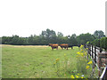
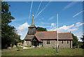
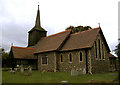
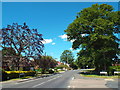
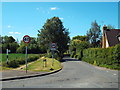
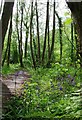
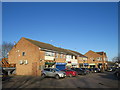
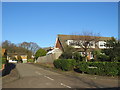
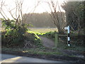
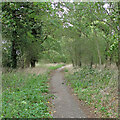
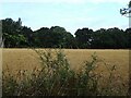
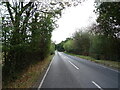
29 photos from this area
Area Information
Key information about the CM15 0HS including its size, population, and administrative classification.
- Area Type
- Postcode
- Area Size
- 7555 m²
- Population
- 1053
- Population Density
- 208 people/km²
House Prices in CM15 0HS
12
Properties
£389,332
Average Sold Price
£169,995
Lowest Price
£565,000
Highest Price
Showing 12 properties
| Address | Type | Beds | Baths | Last Sale Price | Last Sale Date | |
|---|---|---|---|---|---|---|
| 4 Tipps Cross Mead, Hook End, CM15 0HS | Bungalow | - | - | £565,000 | Dec 2021 | |
| 1 Tipps Cross Mead, Hook End, CM15 0HS | Bungalow | 3 | - | £480,000 | Jul 2019 | |
| 2 Tipps Cross Mead, Hook End, CM15 0HS | Bungalow | 2 | 2 | £450,000 | Sep 2015 | |
| 11 Tipps Cross Mead, Hook End, CM15 0HS | Bungalow | 2 | - | £400,000 | Mar 2014 | |
| Hazel Lodge, 12 Tipps Cross Mead, Hook End, CM15 0HS | Bungalow | 4 | - | £397,000 | Sep 2011 | |
| 7 Tipps Cross Mead, Hook End, CM15 0HS | Detached | - | - | £485,000 | Dec 2006 | |
| 8 Tipps Cross Mead, Hook End, CM15 0HS | Detached | 4 | 2 | £307,000 | Dec 2005 | |
| 3 Tipps Cross Mead, Hook End, CM15 0HS | Detached | - | - | £249,995 | Mar 2003 | |
| 6 Tipps Cross Mead, Hook End, CM15 0HS | Detached | - | - | £169,995 | Nov 2000 | |
| 9 Tipps Cross Mead, Hook End, CM15 0HS | Detached | 4 | 2 | - | - |
Page 1 of 2
Energy Efficiency in CM15 0HS
Amenities
Schools
| Rank | School | Type | Entry gender | Ages |
|---|
Explore more schools in this area
Go to Schools tabDemographics
Household Size
Two person
most common
Accommodation Type
Houses
most common
Tenure
80
majority
Ethnic Group
White
most common
Religion
N/A
most common
Household Composition
N/A
most common
Age
47
median
Adults (30-64 years)
most common
Household Deprivation
N/A
with no deprivation
NS-SEC
37
in Lower managerial occupations
Explore more demographic insights in this area
Go to Demographics tabPlanning
Planning Constraints
- Flood RiskPremium
- Ramsar Wetland SitesPremium
- Area of Outstanding Natural BeautyPremium
- Protected Nature ReservePremium
- Protected WoodlandPremium