Area Overview for CM14 5RZ
Photos of CM14 5RZ
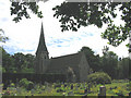
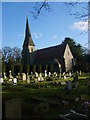
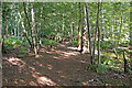
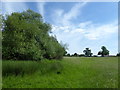
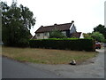
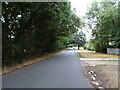
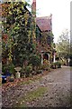
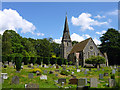
18 photos from this area
Area Information
Key information about the CM14 5RZ including its size, population, and administrative classification.
- Area Type
- Postcode
- Area Size
- 4.8 hectares
- Population
- 2012
- Population Density
- 169 people/km²
House Prices in CM14 5RZ
8
Properties
£1,455,000
Average Sold Price
£1,455,000
Lowest Price
£1,455,000
Highest Price
Showing 8 properties
| Address | Type | Beds | Baths | Last Sale Price | Last Sale Date | |
|---|---|---|---|---|---|---|
| The Vicarage, Mores Lane, Pilgrims Hatch, South Weald, CM14 5RZ | house | - | - | £1,455,000 | Sep 2017 | |
| House, Mapleton Growers Farm, Mores Lane, Pilgrims Hatch, South Weald, CM14 5RZ | Detached | - | - | - | - | |
| Land Adjacent To The Croft And Green Lane Farm, Pilgrims Lane, Pilgrims Hatch, CM14 5RZ | Equestrian | - | - | - | - | |
| The House, Mores Lane, Pilgrims Hatch, South Weald, CM14 5RZ | Detached | - | - | - | - | |
| 28 Mores Lane, Pilgrims Hatch, South Weald, CM14 5RZ | Detached | - | - | - | - | |
| Kings Bros Nurserymen Limited, Mapleton Growers Farm, Mores Lane, Pilgrims Hatch, South Weald, CM14 5RZ | house | - | - | - | - | |
| The Dounsells, Mores Lane, Pilgrims Hatch, South Weald, CM14 5RZ | Detached | - | - | - | - | |
| Caravan, Mapleton Growers Farm, Mores Lane, Pilgrims Hatch, South Weald, CM14 5RZ | Mobile Home | - | - | - | - |
Energy Efficiency in CM14 5RZ
Amenities
Schools
| Rank | School | Type | Entry gender | Ages |
|---|
Explore more schools in this area
Go to Schools tabDemographics
Household Size
Family (3-5 people)
most common
Accommodation Type
Houses
most common
Tenure
81
majority
Ethnic Group
White
most common
Religion
N/A
most common
Household Composition
N/A
most common
Age
47
median
Adults (30-64 years)
most common
Household Deprivation
N/A
with no deprivation
NS-SEC
42
in Lower managerial occupations
Explore more demographic insights in this area
Go to Demographics tabPlanning
Planning Constraints
- Flood RiskPremium
- Ramsar Wetland SitesPremium
- Area of Outstanding Natural BeautyPremium
- Protected Nature ReservePremium
- Protected WoodlandPremium