Area Overview for CM14 5PS
Photos of CM14 5PS
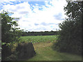
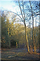
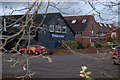
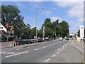
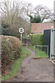
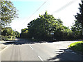
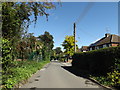
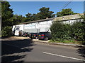
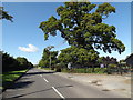
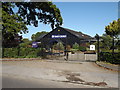
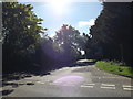
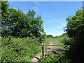
31 photos from this area
Area Information
Key information about the CM14 5PS including its size, population, and administrative classification.
- Area Type
- Postcode
- Area Size
- 22.1 hectares
- Population
- 2012
- Population Density
- 169 people/km²
House Prices in CM14 5PS
47
Properties
£661,283
Average Sold Price
£125,000
Lowest Price
£1,370,000
Highest Price
Showing 47 properties
| Address | Type | Beds | Baths | Last Sale Price | Last Sale Date | |
|---|---|---|---|---|---|---|
| 71 Coxtie Green Road, Pilgrims Hatch, South Weald, CM14 5PS | Detached | 4 | 3 | £925,000 | Dec 2025 | |
| 53 Coxtie Green Road, Pilgrims Hatch, South Weald, CM14 5PS | house | - | - | £1,370,000 | Aug 2022 | |
| 99 Coxtie Green Road, Pilgrims Hatch, South Weald, CM14 5PS | Retail | 5 | 2 | £690,000 | Aug 2022 | |
| 79 Coxtie Green Road, Pilgrims Hatch, South Weald, CM14 5PS | Retail | 3 | 1 | £570,100 | Jul 2022 | |
| 69 Coxtie Green Road, Pilgrims Hatch, South Weald, CM14 5PS | Semi-detached | 4 | - | £660,000 | Dec 2021 | |
| 73 Coxtie Green Road, Pilgrims Hatch, South Weald, CM14 5PS | Bungalow | 4 | - | £815,000 | Dec 2020 | |
| 55 Coxtie Green Road, Pilgrims Hatch, South Weald, CM14 5PS | Detached | 4 | - | £945,000 | Nov 2020 | |
| 57 Coxtie Green Road, Pilgrims Hatch, South Weald, CM14 5PS | house | 4 | - | £975,000 | Nov 2019 | |
| 87 Coxtie Green Road, Pilgrims Hatch, South Weald, CM14 5PS | Semi-detached | 3 | 2 | £524,000 | Sep 2017 | |
| 77 Coxtie Green Road, Pilgrims Hatch, South Weald, CM14 5PS | Detached | 4 | - | £600,000 | Aug 2017 |
Page 1 of 5
Energy Efficiency in CM14 5PS
Amenities
Schools
| Rank | School | Type | Entry gender | Ages |
|---|
Explore more schools in this area
Go to Schools tabDemographics
Household Size
Family (3-5 people)
most common
Accommodation Type
Houses
most common
Tenure
81
majority
Ethnic Group
White
most common
Religion
N/A
most common
Household Composition
N/A
most common
Age
47
median
Adults (30-64 years)
most common
Household Deprivation
N/A
with no deprivation
NS-SEC
42
in Lower managerial occupations
Explore more demographic insights in this area
Go to Demographics tabPlanning
Planning Constraints
- Flood RiskPremium
- Ramsar Wetland SitesPremium
- Area of Outstanding Natural BeautyPremium
- Protected Nature ReservePremium
- Protected WoodlandPremium