Area Overview for CM14 5DD
Photos of CM14 5DD
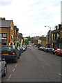
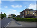
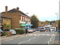
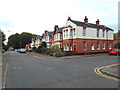
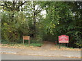
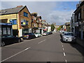
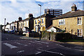
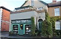

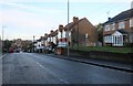

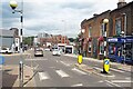
39 photos from this area
Area Information
Key information about the CM14 5DD including its size, population, and administrative classification.
- Area Type
- Postcode
- Area Size
- 5.2 hectares
- Population
- 1529
- Population Density
- 1699 people/km²
House Prices in CM14 5DD
45
Properties
£716,429
Average Sold Price
£200,000
Lowest Price
£1,480,000
Highest Price
Showing 45 properties
| Address | Type | Beds | Baths | Last Sale Price | Last Sale Date | |
|---|---|---|---|---|---|---|
| 57 Mount Crescent, Warley, CM14 5DD | Detached | 6 | 3 | £1,237,000 | Feb 2025 | |
| 69 Mount Crescent, Warley, CM14 5DD | Detached | 5 | 1 | £981,000 | Nov 2024 | |
| 70 Mount Crescent, Warley, CM14 5DD | Detached | 6 | 5 | £800,000 | Jun 2023 | |
| 58 Mount Crescent, Warley, CM14 5DD | Detached | 4 | 2 | £1,050,000 | Jun 2023 | |
| 82 Mount Crescent, Warley, CM14 5DD | Detached | 3 | 2 | £860,000 | Mar 2023 | |
| 63 Mount Crescent, Warley, CM14 5DD | Retail | 4 | 1 | £880,000 | Apr 2022 | |
| 47 Mount Crescent, Warley, CM14 5DD | Detached | 4 | - | £1,110,000 | Jun 2021 | |
| 51 Mount Crescent, Warley, CM14 5DD | house | - | - | £900,000 | Feb 2021 | |
| 54 Mount Crescent, Warley, CM14 5DD | Detached | 4 | - | £1,480,000 | Dec 2020 | |
| 71 Mount Crescent, Warley, CM14 5DD | house | - | - | £775,000 | Jun 2019 |
Page 1 of 5
Energy Efficiency in CM14 5DD
Amenities
Schools
| Rank | School | Type | Entry gender | Ages |
|---|
Explore more schools in this area
Go to Schools tabDemographics
Household Size
Family (3-5 people)
most common
Accommodation Type
Houses
most common
Tenure
91
majority
Ethnic Group
White
most common
Religion
N/A
most common
Household Composition
N/A
most common
Age
47
median
Adults (30-64 years)
most common
Household Deprivation
N/A
with no deprivation
NS-SEC
56
in Lower managerial occupations
Explore more demographic insights in this area
Go to Demographics tabPlanning
Planning Constraints
- Flood RiskPremium
- Ramsar Wetland SitesPremium
- Area of Outstanding Natural BeautyPremium
- Protected Nature ReservePremium
- Protected WoodlandPremium