Area Overview for CM14 5AW
Photos of CM14 5AW
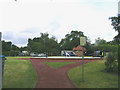
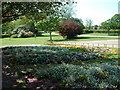
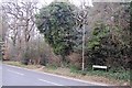
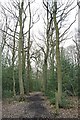
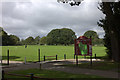
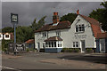
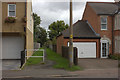
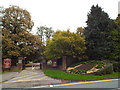
25 photos from this area
Area Information
Key information about the CM14 5AW including its size, population, and administrative classification.
- Area Type
- Postcode
- Area Size
- 2110 m²
- Population
- 1529
- Population Density
- 1699 people/km²
House Prices in CM14 5AW
46
Properties
£131,744
Average Sold Price
£31,995
Lowest Price
£210,000
Highest Price
Showing 46 properties
| Address | Type | Beds | Baths | Last Sale Price | Last Sale Date | |
|---|---|---|---|---|---|---|
| 40, The Lawns, Uplands Road, Warley, CM14 5AW | Flat | 1 | 1 | £125,000 | Jul 2025 | |
| 11, The Lawns, Uplands Road, Warley, CM14 5AW | Flat | 1 | 1 | £167,500 | Mar 2025 | |
| 13, The Lawns, Uplands Road, Warley, CM14 5AW | Flat | 1 | - | £153,000 | Feb 2025 | |
| 17, The Lawns, Uplands Road, Warley, CM14 5AW | Flat | 1 | 1 | £145,000 | Dec 2024 | |
| 19, The Lawns, Uplands Road, Warley, CM14 5AW | Flat | - | - | £170,000 | Oct 2023 | |
| 27, The Lawns, Uplands Road, Warley, CM14 5AW | Flat | 2 | 1 | £205,000 | Oct 2023 | |
| 32, The Lawns, Uplands Road, Warley, CM14 5AW | Flat | - | - | £185,000 | Sep 2023 | |
| 23, The Lawns, Uplands Road, Warley, CM14 5AW | Flat | - | - | £210,000 | Apr 2023 | |
| 9, The Lawns, Uplands Road, Warley, CM14 5AW | Flat | 1 | 1 | £170,000 | Sep 2022 | |
| 7, The Lawns, Uplands Road, Warley, CM14 5AW | Flat | 1 | 1 | £159,995 | Aug 2022 |
Page 1 of 5
Energy Efficiency in CM14 5AW
Amenities
Schools
| Rank | School | Type | Entry gender | Ages |
|---|
Explore more schools in this area
Go to Schools tabDemographics
Household Size
Family (3-5 people)
most common
Accommodation Type
Houses
most common
Tenure
91
majority
Ethnic Group
White
most common
Religion
N/A
most common
Household Composition
N/A
most common
Age
47
median
Adults (30-64 years)
most common
Household Deprivation
N/A
with no deprivation
NS-SEC
56
in Lower managerial occupations
Explore more demographic insights in this area
Go to Demographics tabPlanning
Planning Constraints
- Flood RiskPremium
- Ramsar Wetland SitesPremium
- Area of Outstanding Natural BeautyPremium
- Protected Nature ReservePremium
- Protected WoodlandPremium