Area Overview for CM13 2BX
Photos of CM13 2BX
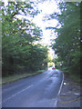
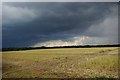
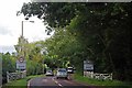
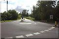
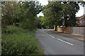
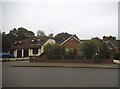
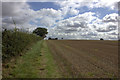
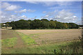
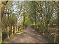
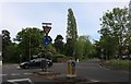
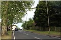
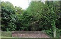
25 photos from this area
Area Information
Key information about the CM13 2BX including its size, population, and administrative classification.
- Area Type
- Postcode
- Area Size
- 1.1 hectares
- Population
- Not available
- Population Density
- Not available
House Prices in CM13 2BX
35
Properties
£285,954
Average Sold Price
£82,000
Lowest Price
£460,000
Highest Price
Showing 35 properties
| Address | Type | Beds | Baths | Last Sale Price | Last Sale Date | |
|---|---|---|---|---|---|---|
| 6 Pondfield Lane, Brentwood, CM13 2BX | Terraced | 3 | 1 | £400,000 | Oct 2024 | |
| 46 Pondfield Lane, Brentwood, CM13 2BX | Terraced | 4 | 2 | £460,000 | Jul 2024 | |
| 8 Pondfield Lane, Brentwood, CM13 2BX | Semi-detached | 2 | 1 | £360,000 | Jan 2024 | |
| 14 Pondfield Lane, Brentwood, CM13 2BX | Terraced | 3 | 1 | £447,000 | Feb 2023 | |
| 40A Pondfield Lane, Brentwood, CM13 2BX | Terraced | 3 | 1 | £460,000 | Jul 2022 | |
| 54 Pondfield Lane, Brentwood, CM13 2BX | Retail | 2 | 1 | £400,000 | Mar 2022 | |
| 58 Pondfield Lane, Brentwood, CM13 2BX | Terraced | 2 | 1 | £385,000 | Sep 2021 | |
| 18 Pondfield Lane, Brentwood, CM13 2BX | Terraced | 2 | 1 | £341,000 | Dec 2019 | |
| 34 Pondfield Lane, Brentwood, CM13 2BX | Terraced | 3 | 1 | £375,000 | Aug 2019 | |
| 2A Pondfield Lane, Brentwood, CM13 2BX | house | - | - | £367,000 | Apr 2018 |
Page 1 of 4
Energy Efficiency in CM13 2BX
Amenities
Schools
| Rank | School | Type | Entry gender | Ages |
|---|
Explore more schools in this area
Go to Schools tabDemographics
Household Size
Family (3-5 people)
most common
Accommodation Type
Houses
most common
Tenure
49
majority
Ethnic Group
White
most common
Religion
N/A
most common
Household Composition
N/A
most common
Age
47
median
Adults (30-64 years)
most common
Household Deprivation
N/A
with no deprivation
NS-SEC
31
in Lower managerial occupations
Explore more demographic insights in this area
Go to Demographics tabPlanning
Planning Constraints
- Flood RiskPremium
- Ramsar Wetland SitesPremium
- Area of Outstanding Natural BeautyPremium
- Protected Nature ReservePremium
- Protected WoodlandPremium