Area Overview for CM12 9TT
Photos of CM12 9TT
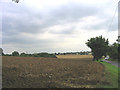
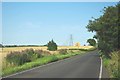

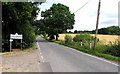
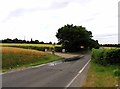
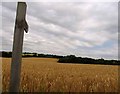
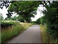
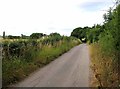
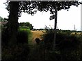
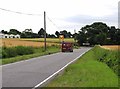
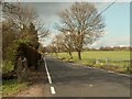
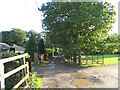
39 photos from this area
Area Information
Key information about the CM12 9TT including its size, population, and administrative classification.
- Area Type
- Postcode
- Area Size
- 28.7 hectares
- Population
- 1502
- Population Density
- 156 people/km²
House Prices in CM12 9TT
16
Properties
£434,000
Average Sold Price
£100,000
Lowest Price
£867,000
Highest Price
Showing 16 properties
| Address | Type | Beds | Baths | Last Sale Price | Last Sale Date | |
|---|---|---|---|---|---|---|
| Oak View, Green Lane, Little Burstead, Billericay, CM12 9TT | house | - | - | £867,000 | Oct 2024 | |
| Highview, Green Lane, Little Burstead, Billericay, CM12 9TT | Bungalow | 3 | 1 | £425,000 | May 2023 | |
| Oak Croft, Green Lane, Little Burstead, Billericay, CM12 9TT | Chalet | 4 | - | £800,000 | Sep 2021 | |
| Glenwood, Green Lane, Little Burstead, Billericay, CM12 9TT | Detached | 3 | 3 | £639,000 | Apr 2018 | |
| Williams Farm, Green Lane, Little Burstead, Billericay, CM12 9TT | Semi-detached | - | - | £100,000 | Jul 2017 | |
| The Burrs, Green Lane, Little Burstead, Billericay, CM12 9TT | Bungalow | 5 | - | £380,000 | Jan 2005 | |
| Roseleigh, Green Lane, Little Burstead, Billericay, CM12 9TT | Land | 4 | 2 | £357,500 | Sep 2004 | |
| Dagmar, Green Lane, Little Burstead, Billericay, CM12 9TT | Detached | - | - | £207,500 | Sep 2001 | |
| Oak Lodge, Green Lane, Little Burstead, Billericay, CM12 9TT | house | - | - | £130,000 | Jun 1997 | |
| Westview, The Chase, Little Burstead, Billericay, CM12 9TT | Detached | 4 | 1 | - | - |
Page 1 of 2
Energy Efficiency in CM12 9TT
Amenities
Schools
| Rank | School | Type | Entry gender | Ages |
|---|
Explore more schools in this area
Go to Schools tabDemographics
Household Size
Family (3-5 people)
most common
Accommodation Type
Houses
most common
Tenure
94
majority
Ethnic Group
White
most common
Religion
N/A
most common
Household Composition
N/A
most common
Age
47
median
Adults (30-64 years)
most common
Household Deprivation
N/A
with no deprivation
NS-SEC
42
in Lower managerial occupations
Explore more demographic insights in this area
Go to Demographics tabPlanning
Planning Constraints
- Flood RiskPremium
- Ramsar Wetland SitesPremium
- Area of Outstanding Natural BeautyPremium
- Protected Nature ReservePremium
- Protected WoodlandPremium