Area Overview for CM12 9SD
Photos of CM12 9SD
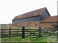
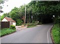
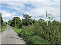
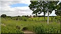
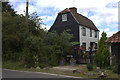
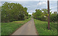
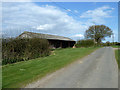
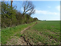
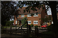
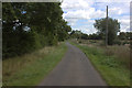
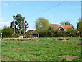
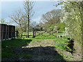
16 photos from this area
Area Information
Key information about the CM12 9SD including its size, population, and administrative classification.
- Area Type
- Postcode
- Area Size
- 33.3 hectares
- Population
- 1502
- Population Density
- 156 people/km²
House Prices in CM12 9SD
8
Properties
£489,333
Average Sold Price
£365,000
Lowest Price
£640,000
Highest Price
Showing 8 properties
| Address | Type | Beds | Baths | Last Sale Price | Last Sale Date | |
|---|---|---|---|---|---|---|
| Fouracres, Tye Common Road, Little Burstead, Billericay, CM12 9SD | Detached | - | - | £463,000 | Oct 2014 | |
| The Willows, Tye Common Road, Little Burstead, Billericay, CM12 9SD | Detached | 4 | 3 | £640,000 | Apr 2006 | |
| Sudburys Bungalow, Tye Common Road, Little Burstead, Billericay, CM12 9SD | Detached | - | - | £365,000 | Jul 2004 | |
| Tennis 138M From Ingleview House, Sudburys Farm Road 91M From Sudburys Farm Road, Sudburys Farm Road, Little Burstead, Billericay, CM12 9SD | Leisure | - | - | - | - | |
| Sudbury Farm, Tye Common Road, Little Burstead, Billericay, CM12 9SD | Detached | - | - | - | - | |
| Salmon Farm Cottage, Tye Common Road, Little Burstead, Billericay, CM12 9SD | Bungalow | - | - | - | - | |
| Annexe At, Salmons Farm, Tye Common Road, Little Burstead, Billericay, CM12 9SD | Detached | - | - | - | - | |
| Salmons Farm, Tye Common Road, Little Burstead, Billericay, CM12 9SD | house | - | - | - | - |
Energy Efficiency in CM12 9SD
Amenities
Schools
| Rank | School | Type | Entry gender | Ages |
|---|
Explore more schools in this area
Go to Schools tabDemographics
Household Size
Family (3-5 people)
most common
Accommodation Type
Houses
most common
Tenure
94
majority
Ethnic Group
White
most common
Religion
N/A
most common
Household Composition
N/A
most common
Age
47
median
Adults (30-64 years)
most common
Household Deprivation
N/A
with no deprivation
NS-SEC
42
in Lower managerial occupations
Explore more demographic insights in this area
Go to Demographics tabPlanning
Planning Constraints
- Flood RiskPremium
- Ramsar Wetland SitesPremium
- Area of Outstanding Natural BeautyPremium
- Protected Nature ReservePremium
- Protected WoodlandPremium