Area Overview for CM12 9EG
Photos of CM12 9EG
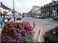
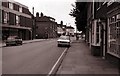
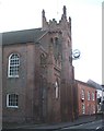
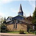
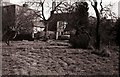
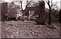
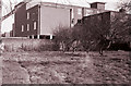
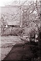
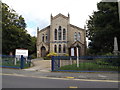
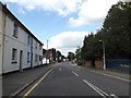

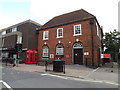
91 photos from this area
Area Information
Key information about the CM12 9EG including its size, population, and administrative classification.
- Area Type
- Postcode
- Area Size
- 1.2 hectares
- Population
- 1769
- Population Density
- 973 people/km²
House Prices in CM12 9EG
22
Properties
£475,594
Average Sold Price
£179,000
Lowest Price
£800,000
Highest Price
Showing 22 properties
| Address | Type | Beds | Baths | Last Sale Price | Last Sale Date | |
|---|---|---|---|---|---|---|
| 46 West Park Crescent, Billericay, CM12 9EG | Semi-detached | 3 | 2 | £675,000 | Nov 2024 | |
| 17A West Park Crescent, Billericay, CM12 9EG | Retail | 4 | 3 | £800,000 | Oct 2022 | |
| 38 West Park Crescent, Billericay, CM12 9EG | Bungalow | 2 | 2 | £515,000 | Feb 2020 | |
| 29 West Park Crescent, Billericay, CM12 9EG | Detached | 4 | 2 | £692,500 | Jan 2018 | |
| 32 West Park Crescent, Billericay, CM12 9EG | house | - | - | £620,000 | Aug 2017 | |
| 49 West Park Crescent, Billericay, CM12 9EG | Detached | 4 | 2 | £701,000 | Apr 2017 | |
| 25 West Park Crescent, Billericay, CM12 9EG | Detached | 4 | - | £630,000 | Oct 2013 | |
| 40 West Park Crescent, Billericay, CM12 9EG | Detached | - | - | £318,000 | May 2006 | |
| 41 West Park Crescent, Billericay, CM12 9EG | Detached | - | - | £560,000 | Jul 2005 | |
| 45 West Park Crescent, Billericay, CM12 9EG | Detached | - | - | £445,000 | Jan 2004 |
Page 1 of 3
Energy Efficiency in CM12 9EG
Amenities
Schools
| Rank | School | Type | Entry gender | Ages |
|---|
Explore more schools in this area
Go to Schools tabDemographics
Household Size
Two person
most common
Accommodation Type
Houses
most common
Tenure
92
majority
Ethnic Group
White
most common
Religion
N/A
most common
Household Composition
N/A
most common
Age
47
median
Adults (30-64 years)
most common
Household Deprivation
N/A
with no deprivation
NS-SEC
51
in Lower managerial occupations
Explore more demographic insights in this area
Go to Demographics tabPlanning
Planning Constraints
- Flood RiskPremium
- Ramsar Wetland SitesPremium
- Area of Outstanding Natural BeautyPremium
- Protected Nature ReservePremium
- Protected WoodlandPremium