Area Overview for CM12 9BY
Photos of CM12 9BY
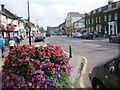
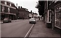
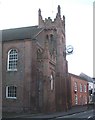
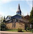
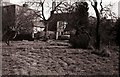
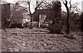
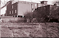
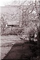
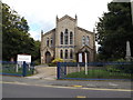
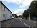
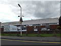
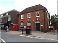
91 photos from this area
Area Information
Key information about the CM12 9BY including its size, population, and administrative classification.
- Area Type
- Postcode
- Area Size
- 7742 m²
- Population
- 1545
- Population Density
- 3112 people/km²
House Prices in CM12 9BY
22
Properties
£145,000
Average Sold Price
£145,000
Lowest Price
£145,000
Highest Price
Showing 22 properties
| Address | Type | Beds | Baths | Last Sale Price | Last Sale Date | |
|---|---|---|---|---|---|---|
| 104D High Street, Billericay, CM12 9BY | Flat | - | - | £145,000 | May 2022 | |
| Flat C, 110 High Street, Billericay, CM12 9BY | Flat | 2 | 2 | - | - | |
| Flat B, 110 High Street, Billericay, CM12 9BY | Flat | 1 | 1 | - | - | |
| Flat A, 110 High Street, Billericay, CM12 9BY | Flat | 2 | 2 | - | - | |
| 104C High Street, Billericay, CM12 9BY | Flat | 5 | 4 | - | - | |
| 116 High Street, Billericay, CM12 9BY | shop | - | - | - | - | |
| Nfl Legal Limited, 108B High Street, Billericay, CM12 9BY | Office | - | - | - | - | |
| 2A, King Georges Court, High Street, Billericay, CM12 9BY | Flat | - | - | - | - | |
| 1, Second Floor, King Georges Court, High Street, Billericay, CM12 9BY | Office | - | - | - | - | |
| Wimpy, 106B High Street, Billericay, CM12 9BY | restaurant_cafe | - | - | - | - |
Page 1 of 3
Energy Efficiency in CM12 9BY
Amenities
Schools
| Rank | School | Type | Entry gender | Ages |
|---|
Explore more schools in this area
Go to Schools tabDemographics
Household Size
Two person
most common
Accommodation Type
Houses
most common
Tenure
80
majority
Ethnic Group
White
most common
Religion
N/A
most common
Household Composition
N/A
most common
Age
47
median
Adults (30-64 years)
most common
Household Deprivation
N/A
with no deprivation
NS-SEC
47
in Lower managerial occupations
Explore more demographic insights in this area
Go to Demographics tabPlanning
Planning Constraints
- Flood RiskPremium
- Ramsar Wetland SitesPremium
- Area of Outstanding Natural BeautyPremium
- Protected Nature ReservePremium
- Protected WoodlandPremium