Area Overview for CM11 2AT
Photos of CM11 2AT
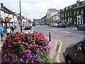
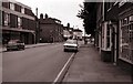
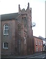
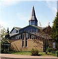
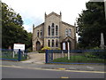
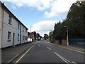
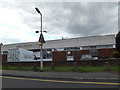
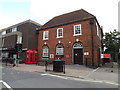
91 photos from this area
Area Information
Key information about the CM11 2AT including its size, population, and administrative classification.
- Area Type
- Postcode
- Area Size
- 7253 m²
- Population
- Not available
- Population Density
- Not available
House Prices in CM11 2AT
21
Properties
£309,881
Average Sold Price
£150,000
Lowest Price
£450,000
Highest Price
Showing 21 properties
| Address | Type | Beds | Baths | Last Sale Price | Last Sale Date | |
|---|---|---|---|---|---|---|
| 18 Chantry Way, Billericay, CM11 2AT | house | - | - | £450,000 | Sep 2021 | |
| 29 Chantry Way, Billericay, CM11 2AT | house | - | - | £385,000 | Jul 2020 | |
| 31 Chantry Way, Billericay, CM11 2AT | house | - | - | £440,000 | Jun 2016 | |
| 25 Chantry Way, Billericay, CM11 2AT | Semi-detached | 3 | - | £389,950 | Feb 2016 | |
| 42 Chantry Way, Billericay, CM11 2AT | house | - | - | £387,000 | Feb 2016 | |
| 16 Chantry Way, Billericay, CM11 2AT | Semi-detached | 3 | 1 | £382,500 | May 2015 | |
| 44 Chantry Way, Billericay, CM11 2AT | Semi-detached | - | - | £183,000 | Feb 2009 | |
| 21 Chantry Way, Billericay, CM11 2AT | Semi-detached | - | - | £320,000 | Jun 2008 | |
| 14 Chantry Way, Billericay, CM11 2AT | Semi-detached | 3 | - | £287,000 | Oct 2007 | |
| 30 Chantry Way, Billericay, CM11 2AT | Semi-detached | - | - | £295,000 | Apr 2007 |
Page 1 of 3
Energy Efficiency in CM11 2AT
Amenities
Schools
| Rank | School | Type | Entry gender | Ages |
|---|
Explore more schools in this area
Go to Schools tabDemographics
Household Size
One person
most common
Accommodation Type
Houses
most common
Tenure
61
majority
Ethnic Group
White
most common
Religion
N/A
most common
Household Composition
N/A
most common
Age
47
median
Adults (30-64 years)
most common
Household Deprivation
N/A
with no deprivation
NS-SEC
43
in Lower managerial occupations
Explore more demographic insights in this area
Go to Demographics tabPlanning
Planning Constraints
- Flood RiskPremium
- Ramsar Wetland SitesPremium
- Area of Outstanding Natural BeautyPremium
- Protected Nature ReservePremium
- Protected WoodlandPremium