Area Overview for CM1 7QE
Photos of CM1 7QE
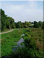
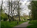
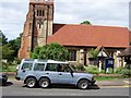
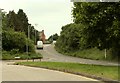
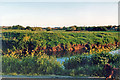
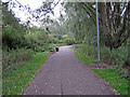
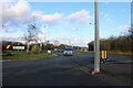
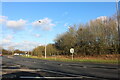
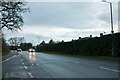

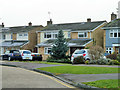
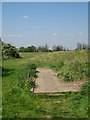
15 photos from this area
Area Information
Key information about the CM1 7QE including its size, population, and administrative classification.
- Area Type
- Postcode
- Area Size
- 3.5 hectares
- Population
- 1523
- Population Density
- 1980 people/km²
House Prices in CM1 7QE
10
Properties
£371,161
Average Sold Price
£160,000
Lowest Price
£537,000
Highest Price
Showing 10 properties
| Address | Type | Beds | Baths | Last Sale Price | Last Sale Date | |
|---|---|---|---|---|---|---|
| 9 Arun Close, Chelmsford, CM1 7QE | Detached | 3 | 1 | £536,000 | Nov 2023 | |
| 2 Arun Close, Chelmsford, CM1 7QE | house | - | - | £537,000 | Jun 2021 | |
| 3 Arun Close, Chelmsford, CM1 7QE | Detached | 4 | - | £510,000 | Mar 2018 | |
| 6 Arun Close, Chelmsford, CM1 7QE | Detached | 3 | - | £412,000 | Aug 2016 | |
| 10 Arun Close, Chelmsford, CM1 7QE | Detached | 3 | 1 | £349,950 | Jul 2015 | |
| 4 Arun Close, Chelmsford, CM1 7QE | Detached | - | - | £347,500 | Jun 2010 | |
| 1 Arun Close, Chelmsford, CM1 7QE | Detached | 4 | - | £238,000 | May 2003 | |
| 8 Arun Close, Chelmsford, CM1 7QE | house | - | - | £250,000 | Jul 2002 | |
| 5 Arun Close, Chelmsford, CM1 7QE | Detached | - | - | £160,000 | Jul 2000 | |
| 7 Arun Close, Chelmsford, CM1 7QE | Detached | - | - | - | - |
Energy Efficiency in CM1 7QE
Amenities
Schools
| Rank | School | Type | Entry gender | Ages |
|---|
Explore more schools in this area
Go to Schools tabDemographics
Household Size
Two person
most common
Accommodation Type
Houses
most common
Tenure
86
majority
Ethnic Group
White
most common
Religion
N/A
most common
Household Composition
N/A
most common
Age
47
median
Adults (30-64 years)
most common
Household Deprivation
N/A
with no deprivation
NS-SEC
46
in Lower managerial occupations
Explore more demographic insights in this area
Go to Demographics tabPlanning
Planning Constraints
- Flood RiskPremium
- Ramsar Wetland SitesPremium
- Area of Outstanding Natural BeautyPremium
- Protected Nature ReservePremium
- Protected WoodlandPremium