Area Overview for CM1 7NX
Photos of CM1 7NX
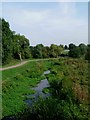
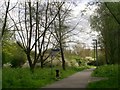
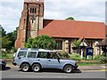
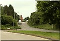
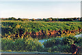
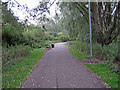
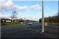
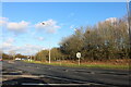
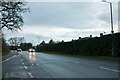

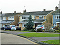
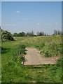
15 photos from this area
Area Information
Key information about the CM1 7NX including its size, population, and administrative classification.
- Area Type
- Postcode
- Area Size
- 1.4 hectares
- Population
- 1226
- Population Density
- 3528 people/km²
House Prices in CM1 7NX
22
Properties
£424,944
Average Sold Price
£118,000
Lowest Price
£681,000
Highest Price
Showing 22 properties
| Address | Type | Beds | Baths | Last Sale Price | Last Sale Date | |
|---|---|---|---|---|---|---|
| 61 Torquay Road, Chelmsford, CM1 7NX | Detached | 4 | 2 | £555,000 | Jan 2024 | |
| 54 Torquay Road, Chelmsford, CM1 7NX | house | - | - | £625,000 | Jan 2022 | |
| 69 Torquay Road, Chelmsford, CM1 7NX | house | - | - | £661,166 | Sep 2021 | |
| 51 Torquay Road, Chelmsford, CM1 7NX | Detached | 5 | 2 | £681,000 | Sep 2021 | |
| 65 Torquay Road, Chelmsford, CM1 7NX | house | - | - | £518,000 | Feb 2021 | |
| 55 Torquay Road, Chelmsford, CM1 7NX | Detached | 4 | 1 | £413,000 | Oct 2020 | |
| 72 Torquay Road, Chelmsford, CM1 7NX | Detached | 4 | 2 | £520,000 | Oct 2018 | |
| 58 Torquay Road, Chelmsford, CM1 7NX | Detached | 4 | 2 | £529,995 | Mar 2016 | |
| 66 Torquay Road, Chelmsford, CM1 7NX | house | - | - | £415,000 | Oct 2015 | |
| 52 Torquay Road, Chelmsford, CM1 7NX | Semi-detached | 3 | - | £325,000 | Nov 2014 |
Page 1 of 3
Energy Efficiency in CM1 7NX
Amenities
Schools
| Rank | School | Type | Entry gender | Ages |
|---|
Explore more schools in this area
Go to Schools tabDemographics
Household Size
Two person
most common
Accommodation Type
Houses
most common
Tenure
90
majority
Ethnic Group
White
most common
Religion
N/A
most common
Household Composition
N/A
most common
Age
47
median
Adults (30-64 years)
most common
Household Deprivation
N/A
with no deprivation
NS-SEC
40
in Lower managerial occupations
Explore more demographic insights in this area
Go to Demographics tabPlanning
Planning Constraints
- Flood RiskPremium
- Ramsar Wetland SitesPremium
- Area of Outstanding Natural BeautyPremium
- Protected Nature ReservePremium
- Protected WoodlandPremium