Area Overview for CM0 8PH
Photos of CM0 8PH
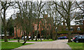
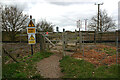
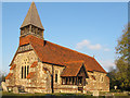
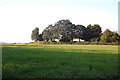
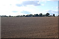
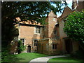
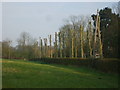
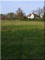
13 photos from this area
Area Information
Key information about the CM0 8PH including its size, population, and administrative classification.
- Area Type
- Postcode
- Area Size
- 35.7 hectares
- Population
- 1713
- Population Density
- 367 people/km²
House Prices in CM0 8PH
10
Properties
£940,000
Average Sold Price
£510,000
Lowest Price
£1,495,000
Highest Price
Showing 10 properties
| Address | Type | Beds | Baths | Last Sale Price | Last Sale Date | |
|---|---|---|---|---|---|---|
| Creeksea Lodge, Creeksea Lane, Burnham On Crouch, CM0 8PH | house | - | - | £925,000 | Oct 2024 | |
| Oaklands, Creeksea Lane, Burnham On Crouch, CM0 8PH | house | - | - | £1,495,000 | Aug 2016 | |
| Beachwood House, Creeksea Lane, Burnham On Crouch, CM0 8PH | house | - | - | £830,000 | Sep 2014 | |
| Fairway Cottage, Creeksea Lane, Burnham On Crouch, CM0 8PH | Bungalow | - | - | £510,000 | Apr 2013 | |
| Former Creeksea Corner, Creeksea Lane, Burnham On Crouch, CM0 8PH | Detached | - | - | - | - | |
| Former Mushroom, Creeksea Lane, Burnham On Crouch, CM0 8PH | Detached | - | - | - | - | |
| The School Room, Creeksea Lane, Burnham On Crouch, CM0 8PH | Bungalow | - | - | - | - | |
| Keel House, Creeksea Lane, Burnham On Crouch, CM0 8PH | house | - | - | - | - | |
| Tiller House, Creeksea Lane, Burnham On Crouch, CM0 8PH | house | - | - | - | - | |
| Rudder House, Creeksea Lane, Burnham On Crouch, CM0 8PH | house | - | - | - | - |
Energy Efficiency in CM0 8PH
Amenities
Schools
| Rank | School | Type | Entry gender | Ages |
|---|
Explore more schools in this area
Go to Schools tabDemographics
Household Size
Two person
most common
Accommodation Type
Houses
most common
Tenure
88
majority
Ethnic Group
White
most common
Religion
N/A
most common
Household Composition
N/A
most common
Age
47
median
Adults (30-64 years)
most common
Household Deprivation
N/A
with no deprivation
NS-SEC
44
in Lower managerial occupations
Explore more demographic insights in this area
Go to Demographics tabPlanning
Planning Constraints
- Flood RiskPremium
- Ramsar Wetland SitesPremium
- Area of Outstanding Natural BeautyPremium
- Protected Nature ReservePremium
- Protected WoodlandPremium