Area Overview for CM0 8JX
Photos of CM0 8JX
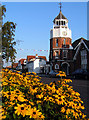
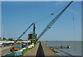
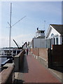
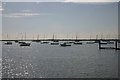
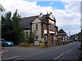
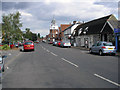
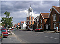
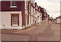
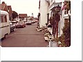
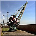
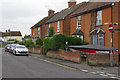
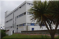
100 photos from this area
Area Information
Key information about the CM0 8JX including its size, population, and administrative classification.
- Area Type
- Postcode
- Area Size
- 7533 m²
- Population
- 1589
- Population Density
- 4536 people/km²
House Prices in CM0 8JX
27
Properties
£233,136
Average Sold Price
£138,000
Lowest Price
£365,000
Highest Price
Showing 27 properties
| Address | Type | Beds | Baths | Last Sale Price | Last Sale Date | |
|---|---|---|---|---|---|---|
| 16 Ship Road, Burnham On Crouch, CM0 8JX | Semi-detached | 2 | 1 | £235,000 | Nov 2024 | |
| Clinker Cottage, 18 Ship Road, Burnham On Crouch, CM0 8JX | Semi-detached | 1 | 2 | £240,000 | Jun 2023 | |
| 19 Ship Road, Burnham On Crouch, CM0 8JX | Terraced | 2 | 1 | £290,000 | Apr 2023 | |
| Magnolia Cottage, Ship Road, Burnham On Crouch, CM0 8JX | house | - | - | £305,000 | Dec 2017 | |
| 10 Ship Road, Burnham On Crouch, CM0 8JX | Detached | 4 | 2 | £365,000 | May 2017 | |
| 2 Ship Road, Burnham On Crouch, CM0 8JX | Semi-detached | 2 | 1 | £250,000 | Mar 2015 | |
| 12 Ship Road, Burnham On Crouch, CM0 8JX | house | - | - | £188,000 | Jan 2013 | |
| 9 Ship Road, Burnham On Crouch, CM0 8JX | Terraced | - | - | £225,000 | Aug 2007 | |
| 11 Ship Road, Burnham On Crouch, CM0 8JX | Terraced | - | - | £168,500 | Aug 2006 | |
| 4 Ship Road, Burnham On Crouch, CM0 8JX | house | - | - | £138,000 | Apr 2003 |
Page 1 of 3
Energy Efficiency in CM0 8JX
Amenities
Schools
| Rank | School | Type | Entry gender | Ages |
|---|
Explore more schools in this area
Go to Schools tabDemographics
Household Size
One person
most common
Accommodation Type
Houses
most common
Tenure
59
majority
Ethnic Group
White
most common
Religion
N/A
most common
Household Composition
N/A
most common
Age
47
median
Adults (30-64 years)
most common
Household Deprivation
N/A
with no deprivation
NS-SEC
32
in Lower managerial occupations
Explore more demographic insights in this area
Go to Demographics tabPlanning
Planning Constraints
- Flood RiskPremium
- Ramsar Wetland SitesPremium
- Area of Outstanding Natural BeautyPremium
- Protected Nature ReservePremium
- Protected WoodlandPremium