Area Overview for CM0 8HP
Photos of CM0 8HP
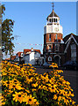
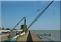
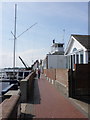
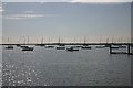
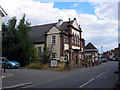
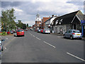
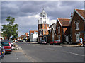
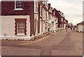
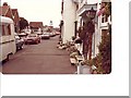
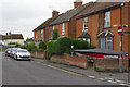

100 photos from this area
Area Information
Key information about the CM0 8HP including its size, population, and administrative classification.
- Area Type
- Postcode
- Area Size
- 7877 m²
- Population
- 1441
- Population Density
- 1389 people/km²
House Prices in CM0 8HP
12
Properties
£335,408
Average Sold Price
£138,950
Lowest Price
£557,500
Highest Price
Showing 12 properties
| Address | Type | Beds | Baths | Last Sale Price | Last Sale Date | |
|---|---|---|---|---|---|---|
| Carmarlin, York Road, Burnham On Crouch, CM0 8HP | Bungalow | - | - | £525,000 | Jun 2021 | |
| May End, York Road, Burnham On Crouch, CM0 8HP | house | - | - | £557,500 | Jun 2019 | |
| Melita, York Road, Burnham On Crouch, CM0 8HP | Bungalow | - | - | £325,000 | Feb 2017 | |
| The Orchard, York Road, Burnham On Crouch, CM0 8HP | Detached | - | - | £274,000 | May 2005 | |
| Greenways, York Road, Burnham On Crouch, CM0 8HP | Detached | - | - | £192,000 | May 2004 | |
| The Maples, York Road, Burnham On Crouch, CM0 8HP | Bungalow | 3 | 2 | £138,950 | Oct 1998 | |
| Seamews, York Road, Burnham On Crouch, CM0 8HP | Bungalow | - | - | - | - | |
| 1 York Road, Burnham On Crouch, CM0 8HP | Detached | - | - | - | - | |
| Ancillary Annexe At, Melita, York Road, Burnham On Crouch, CM0 8HP | Flat | - | - | - | - | |
| Ancillary Annexe At, May End, York Road, Burnham On Crouch, CM0 8HP | Flat | - | - | - | - |
Page 1 of 2
Energy Efficiency in CM0 8HP
Amenities
Schools
| Rank | School | Type | Entry gender | Ages |
|---|
Explore more schools in this area
Go to Schools tabDemographics
Household Size
Two person
most common
Accommodation Type
Houses
most common
Tenure
73
majority
Ethnic Group
White
most common
Religion
N/A
most common
Household Composition
N/A
most common
Age
47
median
Adults (30-64 years)
most common
Household Deprivation
N/A
with no deprivation
NS-SEC
34
in Lower managerial occupations
Explore more demographic insights in this area
Go to Demographics tabPlanning
Planning Constraints
- Flood RiskPremium
- Ramsar Wetland SitesPremium
- Area of Outstanding Natural BeautyPremium
- Protected Nature ReservePremium
- Protected WoodlandPremium