Area Overview for CM0 7RL
Photos of CM0 7RL
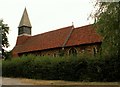
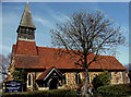
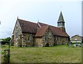
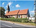
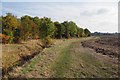
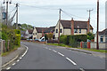
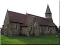
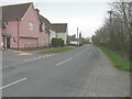
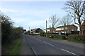
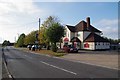
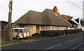

12 photos from this area
Area Information
Key information about the CM0 7RL including its size, population, and administrative classification.
- Area Type
- Postcode
- Area Size
- 1.7 hectares
- Population
- 1923
- Population Density
- 98 people/km²
House Prices in CM0 7RL
14
Properties
£302,333
Average Sold Price
£160,000
Lowest Price
£470,000
Highest Price
Showing 14 properties
| Address | Type | Beds | Baths | Last Sale Price | Last Sale Date | |
|---|---|---|---|---|---|---|
| Pear Tree House, The Street, Steeple, CM0 7RL | Semi-detached | 3 | 2 | £372,500 | Nov 2024 | |
| Ryletts, The Street, Steeple, CM0 7RL | house | - | - | £280,000 | Jun 2021 | |
| Bracken, The Street, Steeple, CM0 7RL | Detached | 4 | - | £470,000 | Nov 2019 | |
| Beverly, The Street, Steeple, CM0 7RL | Bungalow | - | - | £260,000 | May 2018 | |
| 2, Hall Cottages, The Street, Steeple, CM0 7RL | Semi-detached | 4 | 2 | £430,000 | May 2017 | |
| Balmoral, The Street, Steeple, CM0 7RL | Detached | 4 | 2 | £332,500 | Jan 2015 | |
| 1, Hall Cottages, The Street, Steeple, CM0 7RL | Semi-detached | - | - | £160,000 | Oct 2006 | |
| Waters Meet, The Street, Steeple, CM0 7RL | house | - | - | £200,000 | Jun 2005 | |
| Epona, The Street, Steeple, CM0 7RL | house | - | - | £216,000 | May 2005 | |
| Former Lodge Farm, Canney Road, Steeple, CM0 7RL | Detached | - | - | - | - |
Page 1 of 2
Energy Efficiency in CM0 7RL
Amenities
Schools
| Rank | School | Type | Entry gender | Ages |
|---|
Explore more schools in this area
Go to Schools tabDemographics
Household Size
Two person
most common
Accommodation Type
Houses
most common
Tenure
86
majority
Ethnic Group
White
most common
Religion
N/A
most common
Household Composition
N/A
most common
Age
47
median
Adults (30-64 years)
most common
Household Deprivation
N/A
with no deprivation
NS-SEC
31
in Lower managerial occupations
Explore more demographic insights in this area
Go to Demographics tabPlanning
Planning Constraints
- Flood RiskPremium
- Ramsar Wetland SitesPremium
- Area of Outstanding Natural BeautyPremium
- Protected Nature ReservePremium
- Protected WoodlandPremium