Area Overview for CM0 7FE
Photos of CM0 7FE
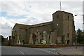
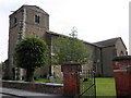
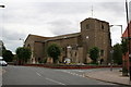
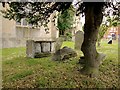
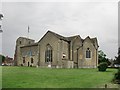
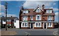
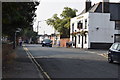
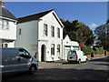
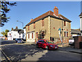
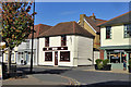
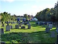
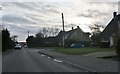
29 photos from this area
Area Information
Key information about the CM0 7FE including its size, population, and administrative classification.
- Area Type
- Postcode
- Area Size
- 9868 m²
- Population
- 2028
- Population Density
- 754 people/km²
House Prices in CM0 7FE
7
Properties
£296,736
Average Sold Price
£149,950
Lowest Price
£369,995
Highest Price
Showing 7 properties
| Address | Type | Beds | Baths | Last Sale Price | Last Sale Date | |
|---|---|---|---|---|---|---|
| Highbury House, Wonston Road, Southminster, CM0 7FE | house | - | - | £369,995 | Oct 2016 | |
| Smugglers Rest, Wonston Road, Southminster, CM0 7FE | Detached | - | - | £350,000 | Jul 2006 | |
| Villeneuve House, Wonston Road, Southminster, CM0 7FE | hospital_care_home | - | - | £317,000 | May 2005 | |
| Estoril, Wonston Road, Southminster, CM0 7FE | hospital_care_home | - | - | £149,950 | Feb 2000 | |
| Baden Villa, Wonston Road, Southminster, CM0 7FE | Detached | 3 | 2 | - | - | |
| 2, Orchard Cottages, Wonston Road, Southminster, CM0 7FE | Semi-detached | 3 | - | - | - | |
| 1, Orchard Cottages, Wonston Road, Southminster, CM0 7FE | Semi-detached | 3 | 2 | - | - |
Energy Efficiency in CM0 7FE
Amenities
Schools
| Rank | School | Type | Entry gender | Ages |
|---|
Explore more schools in this area
Go to Schools tabDemographics
Household Size
Family (3-5 people)
most common
Accommodation Type
Houses
most common
Tenure
80
majority
Ethnic Group
White
most common
Religion
N/A
most common
Household Composition
N/A
most common
Age
47
median
Adults (30-64 years)
most common
Household Deprivation
N/A
with no deprivation
NS-SEC
31
in Lower managerial occupations
Explore more demographic insights in this area
Go to Demographics tabPlanning
Planning Constraints
- Flood RiskPremium
- Ramsar Wetland SitesPremium
- Area of Outstanding Natural BeautyPremium
- Protected Nature ReservePremium
- Protected WoodlandPremium