Area Overview for CM0 7DE
Photos of CM0 7DE
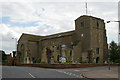
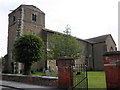
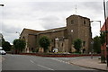
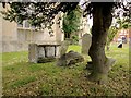
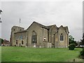
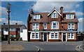
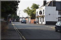
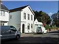
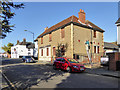
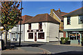
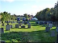
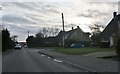
29 photos from this area
Area Information
Key information about the CM0 7DE including its size, population, and administrative classification.
- Area Type
- Postcode
- Area Size
- 4910 m²
- Population
- 1543
- Population Density
- 69 people/km²
House Prices in CM0 7DE
9
Properties
£198,500
Average Sold Price
£115,000
Lowest Price
£384,500
Highest Price
Showing 9 properties
| Address | Type | Beds | Baths | Last Sale Price | Last Sale Date | |
|---|---|---|---|---|---|---|
| 8A High Street, Southminster, CM0 7DE | Flat | - | - | £120,000 | Oct 2024 | |
| 8C High Street, Southminster, CM0 7DE | Flat | 2 | 1 | £115,000 | Apr 2022 | |
| October House, 8G High Street, Southminster, CM0 7DE | house | - | - | £384,500 | Mar 2021 | |
| 8F High Street, Southminster, CM0 7DE | Detached | 3 | 2 | £248,000 | Dec 2015 | |
| 8B High Street, Southminster, CM0 7DE | Flat | - | - | £125,000 | Dec 2007 | |
| 12 High Street, Southminster, CM0 7DE | house | 2 | 1 | - | - | |
| Land Rear Of 8 To 10, High Street, Southminster, CM0 7DE | undefined | - | - | - | - | |
| Southminster Barbers, 6A High Street, Southminster, CM0 7DE | shop | - | - | - | - | |
| Flat, 6A High Street, Southminster, CM0 7DE | Flat | - | - | - | - |
Energy Efficiency in CM0 7DE
Amenities
Schools
| Rank | School | Type | Entry gender | Ages |
|---|
Explore more schools in this area
Go to Schools tabDemographics
Household Size
One person
most common
Accommodation Type
Houses
most common
Tenure
67
majority
Ethnic Group
White
most common
Religion
N/A
most common
Household Composition
N/A
most common
Age
47
median
Adults (30-64 years)
most common
Household Deprivation
N/A
with no deprivation
NS-SEC
29
in Lower managerial occupations
Explore more demographic insights in this area
Go to Demographics tabPlanning
Planning Constraints
- Flood RiskPremium
- Ramsar Wetland SitesPremium
- Area of Outstanding Natural BeautyPremium
- Protected Nature ReservePremium
- Protected WoodlandPremium