Area Overview for Chorleywood South & Maple Cross Ward
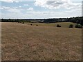
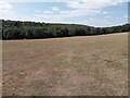
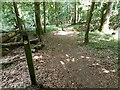
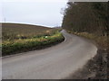
Photos of Chorleywood South & Maple Cross Ward
Area Information
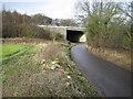
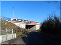
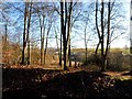
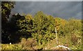
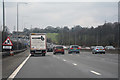
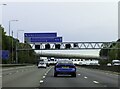
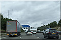
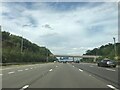
Chorleywood South & Maple Cross Ward sits within the Three Rivers District of Hertfordshire, covering a total area of 13.0 km². This electoral ward encompasses the southern part of the town of Chorleywood alongside the village of Maple Cross. You will find the area bordered by Chorleywood West to the north, Penn and Rickmansworth to the east, and Chalfont St Giles to the west. Historical records show the region was a chapelry in Rickmansworth parish as early as 1845, with Maple Lodge Sewage Treatment Works opening in 1950 to serve thousands of locals. Today, the ward relies on the A412, known as Denham Way, which connects Rickmansworth to Uxbridge. You also have access to the M25 motorway for regional travel. The community includes specific landmarks such as The Cross Inn, a listed building on Denham Way that dates back to the 17th century. Living in this ward means finding a mix of established chapelry history and post-war village development, situated close to major transport arteries while maintaining distinct village character.
- Area Type
- District Borough Unitary Ward
- Area Size
- 13.0 km²
- Population
- Not available
- Population Density
- Not available
Demographics
The community in this ward has a distinct demographic profile characterised by an older population. The median age of residents is 70 years, which significantly influences the local atmosphere and demand for housing. You should expect the majority of occupants to be seniors rather than families with young children. Despite the age demographic, home ownership remains very high at 74%, suggesting a strong sense of tenure among current residents. This high ownership rate often points to an area where people have stayed for decades or retired locally after working elsewhere. Household composition reflects this older demographic, with fewer young households likely present compared to more suburban wards. The accommodation types and ethnic groups are recorded as total without specific breakdowns in the available data, so you should rely on the age and ownership statistics for your primary understanding. This consistency between residents means the neighbourhood likely moves at a slower pace than areas with a younger working population. You will find a settled community where long-term ownership is the norm.
Household Size
Accommodation Type
Tenure
Ethnic Group
Religion
Household Composition
Age
Household Deprivation
NS-SEC
Explore more demographic insights in this area
Go to Demographics tabPlanning
Planning Constraints
- Flood RiskLocked
- Ramsar Wetland SitesLocked
- Area of Outstanding Natural BeautyLocked
- Protected Nature ReserveLocked
- Protected WoodlandLocked
- Crime RiskLocked