Area Overview for Chedgrave
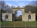
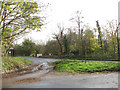
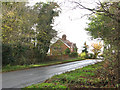
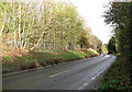
Photos of Chedgrave
Area Information
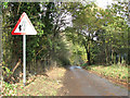
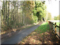
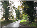
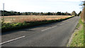
Chedgrave is a compact built-up area spanning 87.3 hectares, situated in England. Its population is characterised by a median age of 70, suggesting a community of older residents. This area is notable for its low crime risk, with a safety score of 84 out of 100, indicating a secure environment for residents. Daily life in Chedgrave is shaped by its proximity to essential amenities, including four retail outlets like Co-op Loddon and Spar, and five railway stations such as Cantley and Buckenham, offering convenient transport links. The presence of Reedham Ferry North adds a unique dimension to local connectivity. While the broadband score of 31 suggests limited digital infrastructure, the area’s practical amenities and safety profile make it an appealing choice for those seeking a stable, low-maintenance lifestyle.
- Area Type
- Built Up Area 250
- Area Size
- 87.3 hectares
- Population
- Not available
- Population Density
- Not available
Chedgrave’s lifestyle is shaped by its proximity to practical amenities. Retail options include Co-op Loddon, Spar, and other local stores, providing everyday shopping convenience. The five railway stations and Reedham Ferry North enhance mobility, allowing residents to access nearby towns and services. While parks or recreational spaces are not specified in the data, the presence of multiple retail and transport hubs suggests a functional, community-oriented environment. The area’s amenities cater to daily needs, with a focus on accessibility and connectivity rather than expansive leisure facilities. This makes Chedgrave suitable for those prioritising practicality over large-scale recreational opportunities.
Amenities
Schools
The nearest school to Chedgrave is Langley School, an independent institution. While no Ofsted rating is provided, the presence of an independent school suggests options for families seeking non-state education. The data does not list other schools in the immediate vicinity, so Langley School appears to be the primary educational option for local children. Families may need to consider commuting to other schools outside the area, depending on their preferences for state or private education. The availability of one independent school highlights a niche but specific resource for those prioritising such institutions.
| Rank | School | Type | Entry gender | Ages |
|---|
Explore more schools in this area
Go to Schools tabDemographics
Chedgrave’s population has a median age of 70, reflecting a community predominantly composed of older adults. Home ownership is high, with 70% of residents owning their properties, indicating a stable housing market. The data does not specify household composition or accommodation types, but the overall demographic profile suggests a mature population with established living patterns. This age profile may influence local services and social dynamics, with a focus on accessibility and community support. The area’s demographics do not provide details on ethnic diversity or religious composition, but the high home ownership rate implies a settled, long-term resident base.