Area Overview for Chatteris South Ward
Photos of Chatteris South Ward
Area Information
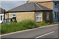
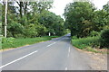
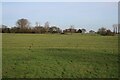
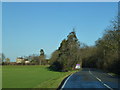
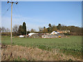
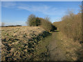
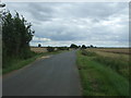
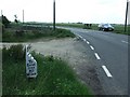
Living in Chatteris South Ward offers a distinct lifestyle defined by its manageable scale and quiet character. This district council ward sits within Fenland District Council in England at coordinates 52.43158072868647, 0.04091391378270358. The area spans 21.1 square kilometres, presenting a compact footprint that feels intimate rather than sprawling. You will find a population of 1,194 residents distributed across the zone. This results in a population density of 57 people per square kilometre. Such low density means wide stretches of space and a lack of urban congestion. Your daily life here will be shaped by proximity to local centres rather than city-scale infrastructure. The ward functions as a recognised polling district and administrative unit for local governance. You navigate this space knowing exactly how many neighbours share your community documents. The environment feels grounded in its specific geography rather than being part of a larger, anonymous metropolitan sprawl. Your morning routine involves interactions with a tightly knit group of roughly one thousand two hundred fellow residents. This specific ward structure influences how services operate and how you engage with local decision-making processes.
- Area Type
- District Borough Unitary Ward
- Area Size
- 21.1 km²
- Population
- 1194
- Population Density
- 57 people/km²
Demographics
The community within Chatteris South Ward presents a clear picture of a settled, older demographic. The median age for residents stands at 70 years, indicating a significant senior population. This statistic reveals that the majority of neighbours are living through retirement years rather than raising families or navigating young adulthood. The data categorises household composition and accommodation types under broad totals as specific breakdowns are not detailed in the current records. You should expect a neighbourhood where multi-generational living or single-person households among the elderly are common norms. Home ownership is firmly entrenched in this locality with 70 per cent of residents owning their homes outright. This high rate of ownership suggests a zone of stability where people have long-term roots rather than transient occupancy. Accommodation types and predominant ethnic groups remain listed as total categories without further elaboration in the available figures. Religion and specific age range data also present as general totals. You are entering an area defined by permanence and mature living arrangements. The demographic profile points toward a retirement haven rather than a family hub. The community feel likely revolves around shared concerns regarding local amenities suitable for older adults and accessible environments.
Household Size
Accommodation Type
Tenure
Ethnic Group
Religion
Household Composition
Age
Household Deprivation
NS-SEC
Explore more demographic insights in this area
Go to Demographics tabPlanning
Planning Constraints
- Flood RiskPremium
- Ramsar Wetland SitesPremium
- Area of Outstanding Natural BeautyPremium
- Protected Nature ReservePremium
- Protected WoodlandPremium
- Crime RiskPremium