Area Overview for Chatteris North & Manea Ward
Photos of Chatteris North & Manea Ward
Area Information
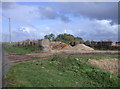
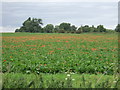
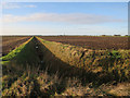
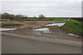
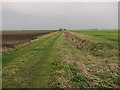
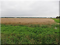
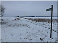
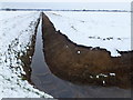
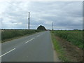
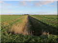
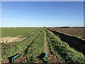
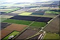
Living in Chatteris North & Manea Ward offers a distinctive place to call home within the wider Fenland District Council area of Cambridgeshire. This district borough unitary ward covers a substantial stretch of land totaling 67.1 km², encompassing parts of the town of Chatteris and the village of Manea. You will find yourself situated in the East of England region, just off the central coordinates of this locality. The ward structure reflects significant local governance, represented by three councillors following the boundary changes implemented for elections on 4 May 2023. Daily life here is defined by its specific rural and semi-rural character, blending village tranquillity with town amenities. The average resident enjoys a lifestyle shaped by the unique geography of the Fenland area. The ward boundaries clearly delineate the community from its surroundings, providing a defined sense of place for those choosing homes in Chatteris North & Manea Ward. Whether you are commuting from the nearby urban centre or enjoying the quieter vantage points of the ward, the area provides a clear identity within the local authority structure. This specific administrative area, centred around the coordinates 52.470914995601866, 0.1297296833692019, serves as a key node for residents seeking a settled life in Cambridgeshire.
- Area Type
- District Borough Unitary Ward
- Area Size
- 67.1 km²
- Population
- Not available
- Population Density
- Not available
Demographics
The community profile of Chatteris North & Manea Ward is defined by an exceptionally older population. The median age stands at exactly 70 years, indicating that the majority of residents belong to senior age groups rather than families with young children or young professionals. This demographic reality shapes the local culture and services you might expect when living in this ward. With the most common age range falling under the total category label which encompasses the whole population, you are entering an environment where retirement and later life are central to the community dynamic. Home ownership is the dominant housing aspiration and reality here, with 70% of residents owning their homes outright or with a mortgage. This high figure suggests a settled population that has invested significantly in local property over time. While the data does not specify ethnic breakdowns, religious affiliations, or detailed household composition metrics beyond the total counts, the overwhelming trend points towards a stable, long-term resident base. The area is not characterized by rapid turnover or transient living. Instead, the demographic makeup reflects a quiet, established neighbourhood where decades of residency are the norm rather than the exception for those considering homes in Chatteris North & Manea Ward.
Household Size
Accommodation Type
Tenure
Ethnic Group
Religion
Household Composition
Age
Household Deprivation
NS-SEC
Explore more demographic insights in this area
Go to Demographics tabPlanning
Planning Constraints
- Flood RiskPremium
- Ramsar Wetland SitesPremium
- Area of Outstanding Natural BeautyPremium
- Protected Nature ReservePremium
- Protected WoodlandPremium
- Crime RiskPremium