Area Overview for Central And Northgate Ward
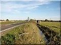
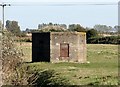
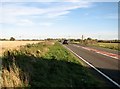
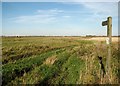
Photos of Central And Northgate Ward
Area Information
Central and Northgate Ward sits within Great Yarmouth Borough Council in the East of England region. The district occupies approximately 11.0 km² of land. It functions as a borough unitary ward with a population of approximately 1,580 residents. The postcode for this location is NR30 4XA, and the coordinates place it at 52.612536, 1.724583. Living in Central and Northgate Ward means residing in a relatively small administrative area defined by these specific boundaries. The ward presents a distinct physical footprint within the local council area. Prospective buyers should note the precise size and location when assessing the neighbourhood. This ward is part of the broader Great Yarmouth administrative structure. You will find the area defined by its specific geographic coordinates and council jurisdiction. The population figure indicates a contained community size compared to larger urban districts. Understanding the exact area size helps you visualise the local density and layout. The ward ID is 5893, which serves as a unique identifier within the planning and census framework. Whether you are researching schools near Central and Northgate Ward or evaluating homes in the area, the geographic context remains consistent. This introduction provides the foundational facts about your potential home's location.
- Area Type
- District Borough Unitary Ward
- Area Size
- 11.0 km²
- Population
- Not available
- Population Density
- Not available
Demographics
The community in Central and Northgate Ward has a median age of 70 years. This figure places the area towards the older end of the demographic spectrum. The most common age range recorded is listed as Age: Total, indicating how the census categorises the population groups. You should be aware that a median age of 70 suggests a significant number of elderly residents live here. This influences the local services and available activities for younger families looking to move. The area shows a home ownership level of 35%. This means that roughly one in three households own their property outright or have a mortgage. The remaining 65% of households likely reside in rental accommodations or other tenancy types. Household composition data is recorded under the total category, reflecting the mix of single, dual, and family homes. Accommodation types are also aggregated under a total classification, showing the variety of dwelling structures available. While specific breakdowns of ethnicity and religion are available in total datasets, no single predominant group is highlighted for this specific ward. Deprivation figures are not detailed in the current statistics for this unit. The demographic profile indicates an area with a established senior citizen population. This context is vital for anyone considering living in Central and Northgate Ward and assessing the social environment.
Household Size
Accommodation Type
Tenure
Ethnic Group
Religion
Household Composition
Age
Household Deprivation
NS-SEC
Explore more demographic insights in this area
Go to Demographics tabPlanning
Planning Constraints
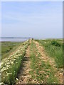
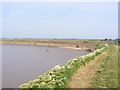
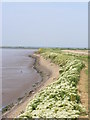
- Flood RiskPremium
- Ramsar Wetland SitesPremium
- Area of Outstanding Natural BeautyPremium
- Protected Nature ReservePremium
- Protected WoodlandPremium
- Crime RiskPremium