Area Overview for CB9 9LH
Photos of CB9 9LH
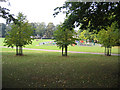
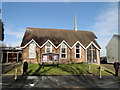
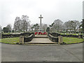
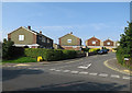
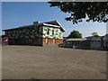
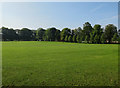
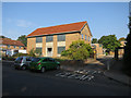
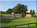
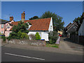
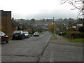
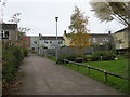
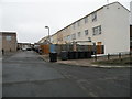
40 photos from this area
Area Information
Key information about the CB9 9LH including its size, population, and administrative classification.
- Area Type
- Postcode
- Area Size
- 7489 m²
- Population
- 2761
- Population Density
- 2702 people/km²
House Prices in CB9 9LH
22
Properties
£188,393
Average Sold Price
£45,000
Lowest Price
£305,000
Highest Price
Showing 22 properties
| Address | Type | Beds | Baths | Last Sale Price | Last Sale Date | |
|---|---|---|---|---|---|---|
| 38 Downs Crescent, Haverhill, CB9 9LH | Detached | 3 | 1 | £275,000 | Jul 2025 | |
| 34 Downs Crescent, Haverhill, CB9 9LH | house | - | - | £305,000 | Nov 2022 | |
| 8 Downs Crescent, Haverhill, CB9 9LH | Retail | 3 | 1 | £299,950 | Oct 2022 | |
| 22 Downs Crescent, Haverhill, CB9 9LH | house | - | - | £277,500 | Sep 2021 | |
| 30 Downs Crescent, Haverhill, CB9 9LH | Semi-detached | 3 | 1 | £245,000 | Dec 2019 | |
| 42 Downs Crescent, Haverhill, CB9 9LH | Semi-detached | 3 | 1 | £212,000 | Dec 2017 | |
| 28 Downs Crescent, Haverhill, CB9 9LH | Semi-detached | 3 | - | £215,000 | Jun 2015 | |
| 26 Downs Crescent, Haverhill, CB9 9LH | house | - | - | £152,500 | Jun 2010 | |
| 20 Downs Crescent, Haverhill, CB9 9LH | Semi-detached | - | - | £171,000 | May 2008 | |
| 44 Downs Crescent, Haverhill, CB9 9LH | Semi-detached | - | - | £180,000 | Jul 2006 |
Page 1 of 3
Energy Efficiency in CB9 9LH
Amenities
Schools
| Rank | School | Type | Entry gender | Ages |
|---|
Explore more schools in this area
Go to Schools tabDemographics
Household Size
Family (3-5 people)
most common
Accommodation Type
Houses
most common
Tenure
57
majority
Ethnic Group
White
most common
Religion
N/A
most common
Household Composition
N/A
most common
Age
47
median
Adults (30-64 years)
most common
Household Deprivation
N/A
with no deprivation
NS-SEC
28
in Lower managerial occupations
Explore more demographic insights in this area
Go to Demographics tabPlanning
Planning Constraints
- Flood RiskPremium
- Ramsar Wetland SitesPremium
- Area of Outstanding Natural BeautyPremium
- Protected Nature ReservePremium
- Protected WoodlandPremium