Area Overview for CB9 9HZ
Photos of CB9 9HZ
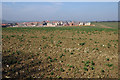
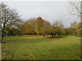
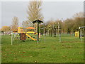
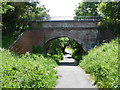
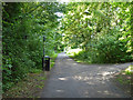
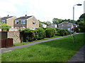
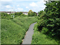
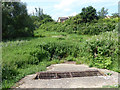
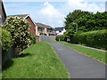
24 photos from this area
Area Information
Key information about the CB9 9HZ including its size, population, and administrative classification.
- Area Type
- Postcode
- Area Size
- 3.3 hectares
- Population
- 2761
- Population Density
- 2702 people/km²
House Prices in CB9 9HZ
23
Properties
£206,654
Average Sold Price
£52,920
Lowest Price
£312,500
Highest Price
Showing 23 properties
| Address | Type | Beds | Baths | Last Sale Price | Last Sale Date | |
|---|---|---|---|---|---|---|
| 25 Western Avenue, Haverhill, CB9 9HZ | Semi-detached | 2 | 1 | £243,000 | Feb 2025 | |
| 13 Western Avenue, Haverhill, CB9 9HZ | house | 4 | 2 | £312,500 | Aug 2022 | |
| 32 Western Avenue, Haverhill, CB9 9HZ | house | 3 | - | £255,000 | Nov 2021 | |
| 21 Western Avenue, Haverhill, CB9 9HZ | house | - | - | £247,500 | Aug 2021 | |
| 23 Western Avenue, Haverhill, CB9 9HZ | house | 2 | - | £261,666 | Sep 2020 | |
| 17 Western Avenue, Haverhill, CB9 9HZ | Terraced | 3 | 1 | £185,000 | Sep 2016 | |
| 22 Western Avenue, Haverhill, CB9 9HZ | house | - | - | £197,000 | Mar 2016 | |
| 24 Western Avenue, Haverhill, CB9 9HZ | Terraced | 3 | - | £164,950 | Feb 2013 | |
| 34 Western Avenue, Haverhill, CB9 9HZ | Detached | 2 | 1 | £52,920 | Jan 2004 | |
| The Poplars, 10 Western Avenue, Haverhill, CB9 9HZ | Detached | - | - | £147,000 | Feb 2003 |
Page 1 of 3
Energy Efficiency in CB9 9HZ
Amenities
Schools
| Rank | School | Type | Entry gender | Ages |
|---|
Explore more schools in this area
Go to Schools tabDemographics
Household Size
Family (3-5 people)
most common
Accommodation Type
Houses
most common
Tenure
57
majority
Ethnic Group
White
most common
Religion
N/A
most common
Household Composition
N/A
most common
Age
47
median
Adults (30-64 years)
most common
Household Deprivation
N/A
with no deprivation
NS-SEC
28
in Lower managerial occupations
Explore more demographic insights in this area
Go to Demographics tabPlanning
Planning Constraints
- Flood RiskPremium
- Ramsar Wetland SitesPremium
- Area of Outstanding Natural BeautyPremium
- Protected Nature ReservePremium
- Protected WoodlandPremium