Area Overview for CB9 9DJ
Photos of CB9 9DJ
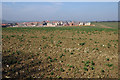
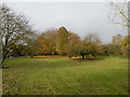
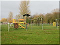
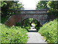
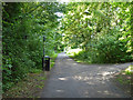
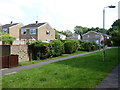
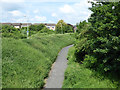
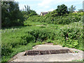
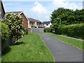
24 photos from this area
Area Information
Key information about the CB9 9DJ including its size, population, and administrative classification.
- Area Type
- Postcode
- Area Size
- 1.1 hectares
- Population
- 1480
- Population Density
- 4975 people/km²
House Prices in CB9 9DJ
13
Properties
£301,688
Average Sold Price
£132,000
Lowest Price
£595,000
Highest Price
Showing 13 properties
| Address | Type | Beds | Baths | Last Sale Price | Last Sale Date | |
|---|---|---|---|---|---|---|
| 4 Bryony Close, Haverhill, CB9 9DJ | Detached | 4 | 2 | £425,000 | Feb 2024 | |
| 7 Bryony Close, Haverhill, CB9 9DJ | house | 4 | - | £595,000 | Apr 2022 | |
| Touchwood, 9 Bryony Close, Haverhill, CB9 9DJ | house | - | - | £465,000 | Aug 2017 | |
| 8 Bryony Close, Haverhill, CB9 9DJ | house | 4 | - | £430,000 | Dec 2016 | |
| Bryony House, 5 Bryony Close, Haverhill, CB9 9DJ | house | 4 | - | £280,000 | Apr 2012 | |
| Layburn House, 11 Bryony Close, Haverhill, CB9 9DJ | Retirement | - | - | £310,000 | Jun 2007 | |
| 2 Bryony Close, Haverhill, CB9 9DJ | Detached | - | - | £329,950 | Feb 2007 | |
| 10 Bryony Close, Haverhill, CB9 9DJ | Detached | - | - | £249,995 | Jul 2003 | |
| 14 Bryony Close, Haverhill, CB9 9DJ | house | - | - | £225,000 | Mar 2002 | |
| 1 Bryony Close, Haverhill, CB9 9DJ | Detached | - | - | £132,000 | Mar 2001 |
Page 1 of 2
Energy Efficiency in CB9 9DJ
Amenities
Schools
| Rank | School | Type | Entry gender | Ages |
|---|
Explore more schools in this area
Go to Schools tabDemographics
Household Size
Family (3-5 people)
most common
Accommodation Type
Houses
most common
Tenure
56
majority
Ethnic Group
White
most common
Religion
N/A
most common
Household Composition
N/A
most common
Age
47
median
Adults (30-64 years)
most common
Household Deprivation
N/A
with no deprivation
NS-SEC
28
in Lower managerial occupations
Explore more demographic insights in this area
Go to Demographics tabPlanning
Planning Constraints
- Flood RiskPremium
- Ramsar Wetland SitesPremium
- Area of Outstanding Natural BeautyPremium
- Protected Nature ReservePremium
- Protected WoodlandPremium