Area Overview for CB9 7HW
Photos of CB9 7HW
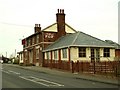
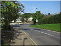
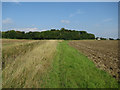
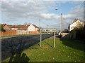
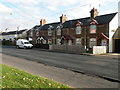
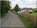
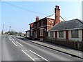
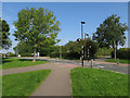
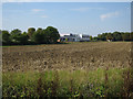
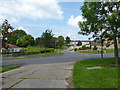
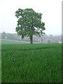
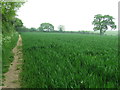
12 photos from this area
Area Information
Key information about the CB9 7HW including its size, population, and administrative classification.
- Area Type
- Postcode
- Area Size
- 9788 m²
- Population
- 1817
- Population Density
- 3927 people/km²
House Prices in CB9 7HW
28
Properties
£307,678
Average Sold Price
£229,995
Lowest Price
£405,000
Highest Price
Showing 28 properties
| Address | Type | Beds | Baths | Last Sale Price | Last Sale Date | |
|---|---|---|---|---|---|---|
| 22 Webb Close, Haverhill, CB9 7HW | house | - | - | £405,000 | Aug 2024 | |
| 12 Webb Close, Haverhill, CB9 7HW | Detached | 3 | 2 | £343,000 | Nov 2022 | |
| 23 Webb Close, Haverhill, CB9 7HW | house | - | - | £280,000 | Sep 2022 | |
| 17 Webb Close, Haverhill, CB9 7HW | house | - | - | £330,000 | Jan 2022 | |
| 11 Webb Close, Haverhill, CB9 7HW | house | - | - | £295,000 | Jul 2020 | |
| 21 Webb Close, Haverhill, CB9 7HW | house | - | - | £338,995 | Nov 2019 | |
| 18 Webb Close, Haverhill, CB9 7HW | house | - | - | £339,995 | Oct 2019 | |
| 15 Webb Close, Haverhill, CB9 7HW | Semi-detached | 3 | 2 | £273,995 | Jun 2019 | |
| 5 Webb Close, Haverhill, CB9 7HW | house | - | - | £312,995 | Jun 2019 | |
| 16 Webb Close, Haverhill, CB9 7HW | house | - | - | £273,995 | Jun 2019 |
Page 1 of 3
Energy Efficiency in CB9 7HW
Amenities
Schools
| Rank | School | Type | Entry gender | Ages |
|---|
Explore more schools in this area
Go to Schools tabDemographics
Household Size
One person
most common
Accommodation Type
Houses
most common
Tenure
66
majority
Ethnic Group
White
most common
Religion
N/A
most common
Household Composition
N/A
most common
Age
47
median
Adults (30-64 years)
most common
Household Deprivation
N/A
with no deprivation
NS-SEC
29
in Lower managerial occupations
Explore more demographic insights in this area
Go to Demographics tabPlanning
Planning Constraints
- Flood RiskPremium
- Ramsar Wetland SitesPremium
- Area of Outstanding Natural BeautyPremium
- Protected Nature ReservePremium
- Protected WoodlandPremium