Area Overview for CB9 0JY
Photos of CB9 0JY
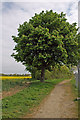
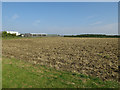
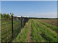
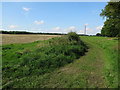
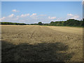
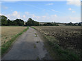
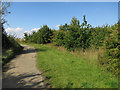
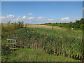
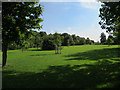
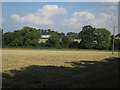
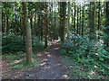
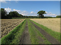
41 photos from this area
Area Information
Key information about the CB9 0JY including its size, population, and administrative classification.
- Area Type
- Postcode
- Area Size
- 1.3 hectares
- Population
- 2309
- Population Density
- 1765 people/km²
House Prices in CB9 0JY
64
Properties
£175,457
Average Sold Price
£108,950
Lowest Price
£305,000
Highest Price
Showing 64 properties
| Address | Type | Beds | Baths | Last Sale Price | Last Sale Date | |
|---|---|---|---|---|---|---|
| 113 Ruffles Road, Haverhill, CB9 0JY | Terraced | 2 | 2 | £230,000 | Oct 2025 | |
| 27 Ruffles Road, Haverhill, CB9 0JY | Terraced | 2 | 1 | £215,000 | Oct 2024 | |
| 47 Ruffles Road, Haverhill, CB9 0JY | Terraced | 2 | 1 | £257,500 | Nov 2022 | |
| 69 Ruffles Road, Haverhill, CB9 0JY | house | - | - | £305,000 | Aug 2022 | |
| 45 Ruffles Road, Haverhill, CB9 0JY | Terraced | 2 | 1 | £240,000 | Jul 2022 | |
| 135 Ruffles Road, Haverhill, CB9 0JY | house | - | - | £275,000 | Mar 2022 | |
| 25 Ruffles Road, Haverhill, CB9 0JY | house | - | - | £215,000 | Dec 2021 | |
| 15 Ruffles Road, Haverhill, CB9 0JY | Terraced | 3 | 2 | £261,000 | Nov 2021 | |
| 111 Ruffles Road, Haverhill, CB9 0JY | Terraced | 3 | 1 | £220,000 | Jun 2021 | |
| 109 Ruffles Road, Haverhill, CB9 0JY | Terraced | 3 | - | £244,500 | Jan 2021 |
Page 1 of 7
Energy Efficiency in CB9 0JY
Amenities
Schools
| Rank | School | Type | Entry gender | Ages |
|---|
Explore more schools in this area
Go to Schools tabDemographics
Household Size
Family (3-5 people)
most common
Accommodation Type
Houses
most common
Tenure
50
majority
Ethnic Group
White
most common
Religion
N/A
most common
Household Composition
N/A
most common
Age
47
median
Adults (30-64 years)
most common
Household Deprivation
N/A
with no deprivation
NS-SEC
24
in Lower managerial occupations
Explore more demographic insights in this area
Go to Demographics tabPlanning
Planning Constraints
- Flood RiskPremium
- Ramsar Wetland SitesPremium
- Area of Outstanding Natural BeautyPremium
- Protected Nature ReservePremium
- Protected WoodlandPremium