Area Overview for CB9 0DW
Photos of CB9 0DW
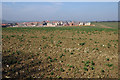
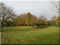
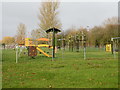
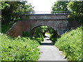
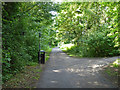
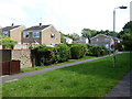
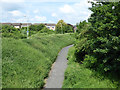
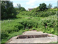
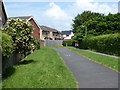
24 photos from this area
Area Information
Key information about the CB9 0DW including its size, population, and administrative classification.
- Area Type
- Postcode
- Area Size
- 1.5 hectares
- Population
- 1332
- Population Density
- 3445 people/km²
House Prices in CB9 0DW
27
Properties
£234,636
Average Sold Price
£74,500
Lowest Price
£386,500
Highest Price
Showing 27 properties
| Address | Type | Beds | Baths | Last Sale Price | Last Sale Date | |
|---|---|---|---|---|---|---|
| 6 Cardinal Way, Haverhill, CB9 0DW | Semi-detached | 3 | 1 | £343,000 | May 2025 | |
| 8 Cardinal Way, Haverhill, CB9 0DW | Semi-detached | 3 | 1 | £295,000 | Jun 2023 | |
| 36 Cardinal Way, Haverhill, CB9 0DW | house | 4 | - | £386,500 | Mar 2023 | |
| 26 Cardinal Way, Haverhill, CB9 0DW | house | - | - | £359,950 | Mar 2023 | |
| 2 Cardinal Way, Haverhill, CB9 0DW | house | - | - | £284,000 | Nov 2022 | |
| 5 Cardinal Way, Haverhill, CB9 0DW | Semi-detached | 4 | 2 | £278,000 | Aug 2019 | |
| 10 Cardinal Way, Haverhill, CB9 0DW | Semi-detached | 3 | 2 | £265,000 | Apr 2019 | |
| 16 Cardinal Way, Haverhill, CB9 0DW | Detached | 4 | 1 | £247,000 | Feb 2016 | |
| 30 Cardinal Way, Haverhill, CB9 0DW | Semi-detached | 3 | 2 | £187,500 | Aug 2015 | |
| 18 Cardinal Way, Haverhill, CB9 0DW | house | 4 | 3 | £250,000 | Jan 2014 |
Page 1 of 3
Energy Efficiency in CB9 0DW
Amenities
Schools
| Rank | School | Type | Entry gender | Ages |
|---|
Explore more schools in this area
Go to Schools tabDemographics
Household Size
Family (3-5 people)
most common
Accommodation Type
Houses
most common
Tenure
90
majority
Ethnic Group
White
most common
Religion
N/A
most common
Household Composition
N/A
most common
Age
47
median
Adults (30-64 years)
most common
Household Deprivation
N/A
with no deprivation
NS-SEC
33
in Lower managerial occupations
Explore more demographic insights in this area
Go to Demographics tabPlanning
Planning Constraints
- Flood RiskPremium
- Ramsar Wetland SitesPremium
- Area of Outstanding Natural BeautyPremium
- Protected Nature ReservePremium
- Protected WoodlandPremium