Area Overview for CB9 0DH
Photos of CB9 0DH
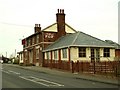
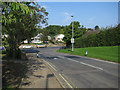
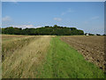
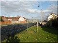
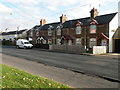
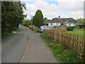
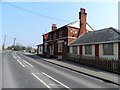
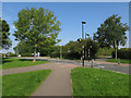
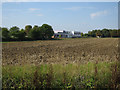
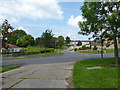
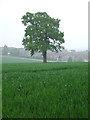
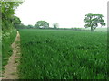
12 photos from this area
Area Information
Key information about the CB9 0DH including its size, population, and administrative classification.
- Area Type
- Postcode
- Area Size
- 1.3 hectares
- Population
- 1817
- Population Density
- 3927 people/km²
House Prices in CB9 0DH
29
Properties
£149,842
Average Sold Price
£49,000
Lowest Price
£377,000
Highest Price
Showing 29 properties
| Address | Type | Beds | Baths | Last Sale Price | Last Sale Date | |
|---|---|---|---|---|---|---|
| 47 Abbotts Road, Haverhill, CB9 0DH | house | - | - | £232,000 | May 2021 | |
| 92 Abbotts Road, Haverhill, CB9 0DH | Detached | 4 | 2 | £377,000 | Sep 2018 | |
| 39 Abbotts Road, Haverhill, CB9 0DH | Semi-detached | 3 | 1 | £216,000 | Oct 2015 | |
| 72 Abbotts Road, Haverhill, CB9 0DH | Detached | 3 | 2 | £196,000 | May 2011 | |
| 98 Abbotts Road, Haverhill, CB9 0DH | house | - | - | £147,950 | Jun 2009 | |
| 49 Abbotts Road, Haverhill, CB9 0DH | house | - | - | £160,000 | Aug 2007 | |
| 64 Abbotts Road, Haverhill, CB9 0DH | Semi-detached | - | - | £177,500 | Dec 2005 | |
| 68 Abbotts Road, Haverhill, CB9 0DH | house | - | - | £130,000 | Jul 2002 | |
| 41 Abbotts Road, Haverhill, CB9 0DH | Semi-detached | 3 | 1 | £84,000 | Mar 2001 | |
| 43 Abbotts Road, Haverhill, CB9 0DH | Semi-detached | - | - | £66,500 | Sep 1998 |
Page 1 of 3
Energy Efficiency in CB9 0DH
Amenities
Schools
| Rank | School | Type | Entry gender | Ages |
|---|
Explore more schools in this area
Go to Schools tabDemographics
Household Size
One person
most common
Accommodation Type
Houses
most common
Tenure
66
majority
Ethnic Group
White
most common
Religion
N/A
most common
Household Composition
N/A
most common
Age
47
median
Adults (30-64 years)
most common
Household Deprivation
N/A
with no deprivation
NS-SEC
29
in Lower managerial occupations
Explore more demographic insights in this area
Go to Demographics tabPlanning
Planning Constraints
- Flood RiskPremium
- Ramsar Wetland SitesPremium
- Area of Outstanding Natural BeautyPremium
- Protected Nature ReservePremium
- Protected WoodlandPremium