Area Overview for CB8 9PB
Photos of CB8 9PB
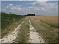
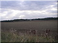
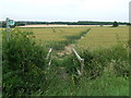
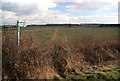
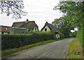
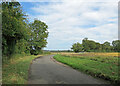
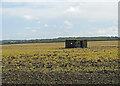
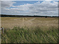
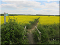
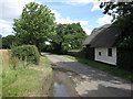
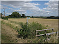
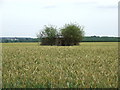
14 photos from this area
Area Information
Key information about the CB8 9PB including its size, population, and administrative classification.
- Area Type
- Postcode
- Area Size
- 65.7 hectares
- Population
- 1324
- Population Density
- 61 people/km²
House Prices in CB8 9PB
36
Properties
£268,429
Average Sold Price
£70,000
Lowest Price
£500,000
Highest Price
Showing 36 properties
| Address | Type | Beds | Baths | Last Sale Price | Last Sale Date | |
|---|---|---|---|---|---|---|
| 64 The Street, Kirtling, CB8 9PB | Cottage | 3 | - | £265,000 | Feb 2025 | |
| 66 The Street, Kirtling, CB8 9PB | Terraced | 3 | 1 | £220,000 | Jan 2025 | |
| 86 The Street, Kirtling, CB8 9PB | Terraced | 3 | - | £284,000 | Oct 2022 | |
| 23 The Street, Kirtling, CB8 9PB | Detached | 3 | 2 | £295,000 | Feb 2022 | |
| 29A The Street, Kirtling, CB8 9PB | house | - | - | £125,000 | Aug 2021 | |
| 31 The Street, Kirtling, CB8 9PB | house | - | - | £184,000 | Mar 2019 | |
| 21 The Street, Kirtling, CB8 9PB | Semi-detached | 4 | 2 | £435,000 | Oct 2017 | |
| The Old School, 43 The Street, Kirtling, CB8 9PB | Semi-detached | 2 | - | £280,000 | Jan 2016 | |
| School Cottage, 41 The Street, Kirtling, CB8 9PB | Detached | 4 | - | £500,000 | Sep 2014 | |
| 94 The Street, Kirtling, CB8 9PB | house | - | - | £90,000 | Aug 2013 |
Page 1 of 4
Energy Efficiency in CB8 9PB
Amenities
Schools
| Rank | School | Type | Entry gender | Ages |
|---|
Explore more schools in this area
Go to Schools tabDemographics
Household Size
Two person
most common
Accommodation Type
Houses
most common
Tenure
55
majority
Ethnic Group
White
most common
Religion
N/A
most common
Household Composition
N/A
most common
Age
47
median
Adults (30-64 years)
most common
Household Deprivation
N/A
with no deprivation
NS-SEC
36
in Lower managerial occupations
Explore more demographic insights in this area
Go to Demographics tabPlanning
Planning Constraints
- Flood RiskPremium
- Ramsar Wetland SitesPremium
- Area of Outstanding Natural BeautyPremium
- Protected Nature ReservePremium
- Protected WoodlandPremium