Area Overview for CB8 9NH
Photos of CB8 9NH
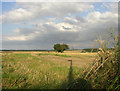
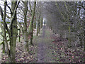
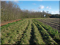

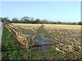
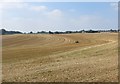
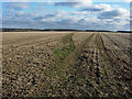
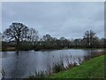
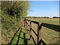
19 photos from this area
Area Information
Key information about the CB8 9NH including its size, population, and administrative classification.
- Area Type
- Postcode
- Area Size
- 1.1 km²
- Population
- 2606
- Population Density
- 63 people/km²
House Prices in CB8 9NH
26
Properties
£461,500
Average Sold Price
£200,000
Lowest Price
£795,000
Highest Price
Showing 26 properties
| Address | Type | Beds | Baths | Last Sale Price | Last Sale Date | |
|---|---|---|---|---|---|---|
| Park House, Bradley Road, Burrough Green, CB8 9NH | Detached | 5 | 3 | £725,000 | Jun 2025 | |
| Cosy Cot, Bradley Road, Burrough Green, CB8 9NH | Detached | 3 | 1 | £464,500 | Dec 2021 | |
| Anville, Bradley Road, Burrough Green, CB8 9NH | Bungalow | 2 | 1 | £348,000 | Aug 2016 | |
| Boundary Cottage, Bradley Road, Burrough Green, CB8 9NH | Detached | 4 | 2 | £520,000 | Mar 2016 | |
| Appletree Cottage, Bradley Road, Burrough Green, CB8 9NH | Cottage | 3 | - | £465,000 | Feb 2016 | |
| Rose Cottage, Bradley Road, Burrough Green, CB8 9NH | house | - | - | £200,000 | Nov 2013 | |
| Quercus, Bradley Road, Burrough Green, CB8 9NH | house | 4 | - | £795,000 | Jun 2012 | |
| Croft Cottage, Bradley Road, Burrough Green, CB8 9NH | Detached | 3 | - | £367,500 | Jul 2011 | |
| Moat House, Bradley Road, Burrough Green, CB8 9NH | Detached | - | - | £450,000 | Sep 2007 | |
| Park Bungalow, Bradley Road, Burrough Green, CB8 9NH | Detached | - | - | £280,000 | Feb 2002 |
Page 1 of 3
Energy Efficiency in CB8 9NH
Amenities
Schools
| Rank | School | Type | Entry gender | Ages |
|---|
Explore more schools in this area
Go to Schools tabDemographics
Household Size
Two person
most common
Accommodation Type
Houses
most common
Tenure
77
majority
Ethnic Group
White
most common
Religion
N/A
most common
Household Composition
N/A
most common
Age
47
median
Adults (30-64 years)
most common
Household Deprivation
N/A
with no deprivation
NS-SEC
44
in Lower managerial occupations
Explore more demographic insights in this area
Go to Demographics tabPlanning
Planning Constraints
- Flood RiskPremium
- Ramsar Wetland SitesPremium
- Area of Outstanding Natural BeautyPremium
- Protected Nature ReservePremium
- Protected WoodlandPremium