Area Overview for CB8 8SW
Photos of CB8 8SW
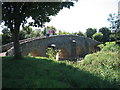
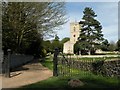
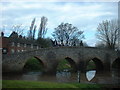
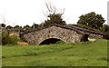
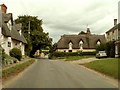
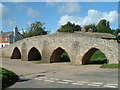
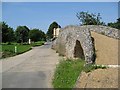
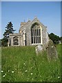
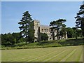
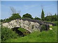
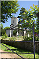
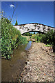
100 photos from this area
Area Information
Key information about the CB8 8SW including its size, population, and administrative classification.
- Area Type
- Postcode
- Area Size
- 1.6 hectares
- Population
- 2252
- Population Density
- 91 people/km²
House Prices in CB8 8SW
26
Properties
£200,133
Average Sold Price
£24,000
Lowest Price
£375,000
Highest Price
Showing 26 properties
| Address | Type | Beds | Baths | Last Sale Price | Last Sale Date | |
|---|---|---|---|---|---|---|
| 20 Benefield Road, Moulton, CB8 8SW | Semi-detached | 3 | 1 | £375,000 | Jun 2025 | |
| 18 Benefield Road, Moulton, CB8 8SW | Semi-detached | 3 | 1 | £285,000 | Oct 2024 | |
| 16 Benefield Road, Moulton, CB8 8SW | Semi-detached | 3 | 1 | £320,000 | Mar 2024 | |
| 22 Benefield Road, Moulton, CB8 8SW | Semi-detached | 3 | - | £260,000 | Sep 2017 | |
| 17 Benefield Road, Moulton, CB8 8SW | Semi-detached | 3 | 1 | £277,000 | Aug 2016 | |
| 23 Benefield Road, Moulton, CB8 8SW | Semi-detached | 4 | 2 | £285,000 | Jul 2015 | |
| 19 Benefield Road, Moulton, CB8 8SW | Semi-detached | 3 | 2 | £209,000 | Apr 2015 | |
| 8 Benefield Road, Moulton, CB8 8SW | house | - | - | £175,000 | Jul 2009 | |
| 25 Benefield Road, Moulton, CB8 8SW | Semi-detached | - | - | £196,500 | Aug 2008 | |
| 7 Benefield Road, Moulton, CB8 8SW | Semi-detached | - | - | £206,000 | Jun 2006 |
Page 1 of 3
Energy Efficiency in CB8 8SW
Amenities
Schools
| Rank | School | Type | Entry gender | Ages |
|---|
Explore more schools in this area
Go to Schools tabDemographics
Household Size
Two person
most common
Accommodation Type
Houses
most common
Tenure
75
majority
Ethnic Group
White
most common
Religion
N/A
most common
Household Composition
N/A
most common
Age
47
median
Adults (30-64 years)
most common
Household Deprivation
N/A
with no deprivation
NS-SEC
45
in Lower managerial occupations
Explore more demographic insights in this area
Go to Demographics tabPlanning
Planning Constraints
- Flood RiskPremium
- Ramsar Wetland SitesPremium
- Area of Outstanding Natural BeautyPremium
- Protected Nature ReservePremium
- Protected WoodlandPremium