Area Overview for CB8 0RD
Photos of CB8 0RD
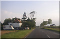
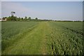
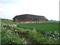
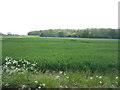
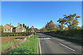
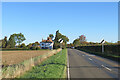
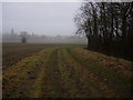
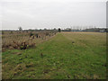
34 photos from this area
Area Information
Key information about the CB8 0RD including its size, population, and administrative classification.
- Area Type
- Postcode
- Area Size
- 47.1 hectares
- Population
- 2606
- Population Density
- 63 people/km²
House Prices in CB8 0RD
10
Properties
£360,500
Average Sold Price
£145,000
Lowest Price
£532,000
Highest Price
Showing 10 properties
| Address | Type | Beds | Baths | Last Sale Price | Last Sale Date | |
|---|---|---|---|---|---|---|
| Forge Farm Cottage, Brinkley Road, Westley Waterless, CB8 0RD | house | 3 | 2 | £480,000 | Mar 2022 | |
| Orchard House, Brinkley Road, Westley Waterless, CB8 0RD | Semi-detached | - | - | £285,000 | Jun 2013 | |
| Highfields, Brinkley Road, Westley Waterless, CB8 0RD | Land | - | - | £532,000 | Oct 2010 | |
| Bessboro, Brinkley Road, Westley Waterless, CB8 0RD | Detached | - | - | £145,000 | Sep 1997 | |
| Field Engineering, Brinkley Road, Burrough Green, CB8 0RD | Industrial | - | - | - | - | |
| New Barn, Brinkley Road, Burrough Green, CB8 0RD | Industrial | - | - | - | - | |
| Covills Yard Garage, Covills Yard, Brinkley Road, Westley Waterless, CB8 0RD | Industrial | - | - | - | - | |
| Annexe, The Mill House, Brinkley Road, Burrough Green, CB8 0RD | Semi-detached | - | - | - | - | |
| The Mill House, Brinkley Road, Burrough Green, CB8 0RD | Detached | - | - | - | - | |
| Fern Cottage, Brinkley Road, Westley Waterless, CB8 0RD | Semi-detached | - | - | - | - |
Energy Efficiency in CB8 0RD
Amenities
Schools
| Rank | School | Type | Entry gender | Ages |
|---|
Explore more schools in this area
Go to Schools tabDemographics
Household Size
Two person
most common
Accommodation Type
Houses
most common
Tenure
77
majority
Ethnic Group
White
most common
Religion
N/A
most common
Household Composition
N/A
most common
Age
47
median
Adults (30-64 years)
most common
Household Deprivation
N/A
with no deprivation
NS-SEC
44
in Lower managerial occupations
Explore more demographic insights in this area
Go to Demographics tabPlanning
Planning Constraints
- Flood RiskPremium
- Ramsar Wetland SitesPremium
- Area of Outstanding Natural BeautyPremium
- Protected Nature ReservePremium
- Protected WoodlandPremium