Area Overview for CB8 0EH
Photos of CB8 0EH
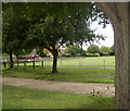
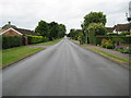
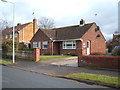
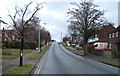
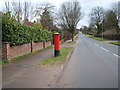
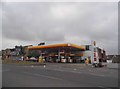
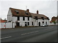
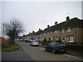
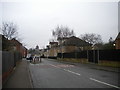
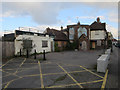
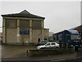
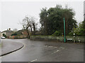
30 photos from this area
Area Information
Key information about the CB8 0EH including its size, population, and administrative classification.
- Area Type
- Postcode
- Area Size
- 1.1 hectares
- Population
- 1766
- Population Density
- 4883 people/km²
House Prices in CB8 0EH
32
Properties
£179,541
Average Sold Price
£88,000
Lowest Price
£279,995
Highest Price
Showing 32 properties
| Address | Type | Beds | Baths | Last Sale Price | Last Sale Date | |
|---|---|---|---|---|---|---|
| 127 Freshfields, Newmarket, CB8 0EH | Bungalow | 2 | 1 | £186,000 | Jan 2024 | |
| 1 Freshfields, Newmarket, CB8 0EH | Retail | 3 | - | £260,000 | Aug 2022 | |
| 4 Freshfields, Newmarket, CB8 0EH | Semi-detached | 3 | 1 | £239,995 | Jun 2017 | |
| 14 Freshfields, Newmarket, CB8 0EH | Semi-detached | 3 | 1 | £250,000 | Aug 2016 | |
| 136 Freshfields, Newmarket, CB8 0EH | house | 3 | - | £279,995 | May 2016 | |
| 128 Freshfields, Newmarket, CB8 0EH | Semi-detached | 1 | 1 | £129,000 | Sep 2013 | |
| 124 Freshfields, Newmarket, CB8 0EH | Maisonette | 2 | 1 | £88,000 | Aug 2010 | |
| 2 Freshfields, Newmarket, CB8 0EH | Retail | 2 | 2 | £173,000 | Jun 2010 | |
| 126 Freshfields, Newmarket, CB8 0EH | Terraced | 2 | 1 | £125,000 | Sep 2006 | |
| 7 Freshfields, Newmarket, CB8 0EH | house | - | - | £155,000 | Jun 2006 |
Page 1 of 4
Energy Efficiency in CB8 0EH
Amenities
Schools
| Rank | School | Type | Entry gender | Ages |
|---|
Explore more schools in this area
Go to Schools tabDemographics
Household Size
One person
most common
Accommodation Type
Flats
most common
Tenure
32
majority
Ethnic Group
White
most common
Religion
N/A
most common
Household Composition
N/A
most common
Age
47
median
Adults (30-64 years)
most common
Household Deprivation
N/A
with no deprivation
NS-SEC
22
in Lower managerial occupations
Explore more demographic insights in this area
Go to Demographics tabPlanning
Planning Constraints
- Flood RiskPremium
- Ramsar Wetland SitesPremium
- Area of Outstanding Natural BeautyPremium
- Protected Nature ReservePremium
- Protected WoodlandPremium