Area Overview for CB7 5YQ
Photos of CB7 5YQ
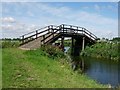
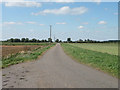
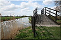
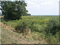
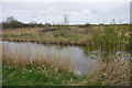
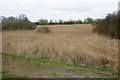
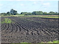
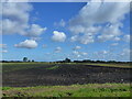
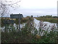
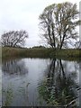
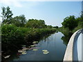
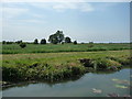
49 photos from this area
Area Information
Key information about the CB7 5YQ including its size, population, and administrative classification.
- Area Type
- Postcode
- Area Size
- 3.5 km²
- Population
- 2012
- Population Density
- 92 people/km²
House Prices in CB7 5YQ
28
Properties
£343,500
Average Sold Price
£127,000
Lowest Price
£851,000
Highest Price
Showing 28 properties
| Address | Type | Beds | Baths | Last Sale Price | Last Sale Date | |
|---|---|---|---|---|---|---|
| 3 Upware, Upware, CB7 5YQ | Land | - | - | £275,000 | Aug 2024 | |
| 2 Upware, Upware, CB7 5YQ | Land | - | - | £195,000 | Dec 2023 | |
| 1 Upware, Upware, CB7 5YQ | Land | 5 | 4 | £179,000 | Apr 2023 | |
| 7 Upware, Upware, CB7 5YQ | Detached | 4 | 1 | £530,000 | Aug 2022 | |
| Bridge Lodge, Upware, Upware, CB7 5YQ | Detached | 5 | 2 | £167,000 | Jul 2021 | |
| 14 Upware, Upware, CB7 5YQ | house | - | - | £851,000 | Mar 2021 | |
| Meadow View, 5 Upware, Upware, CB7 5YQ | Semi-detached | 2 | - | £215,000 | Jun 2019 | |
| 12 Upware, Upware, CB7 5YQ | house | - | - | £342,000 | Apr 2019 | |
| 6 Upware, Upware, CB7 5YQ | house | - | - | £250,000 | Jul 2017 | |
| The Pump House, 20 Upware, Upware, CB7 5YQ | Detached | 3 | 3 | £465,000 | Aug 2015 |
Page 1 of 3
Energy Efficiency in CB7 5YQ
Amenities
Schools
| Rank | School | Type | Entry gender | Ages |
|---|
Explore more schools in this area
Go to Schools tabDemographics
Household Size
Two person
most common
Accommodation Type
Houses
most common
Tenure
65
majority
Ethnic Group
White
most common
Religion
N/A
most common
Household Composition
N/A
most common
Age
47
median
Adults (30-64 years)
most common
Household Deprivation
N/A
with no deprivation
NS-SEC
37
in Lower managerial occupations
Explore more demographic insights in this area
Go to Demographics tabPlanning
Planning Constraints
- Flood RiskPremium
- Ramsar Wetland SitesPremium
- Area of Outstanding Natural BeautyPremium
- Protected Nature ReservePremium
- Protected WoodlandPremium