Area Overview for CB7 5JJ
Photos of CB7 5JJ
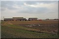
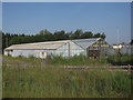
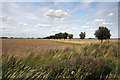
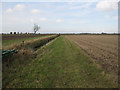
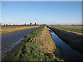
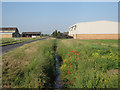
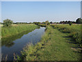
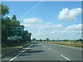
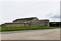
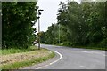
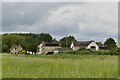
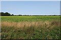
27 photos from this area
Area Information
Key information about the CB7 5JJ including its size, population, and administrative classification.
- Area Type
- Postcode
- Area Size
- 27.8 hectares
- Population
- 1492
- Population Density
- 672 people/km²
House Prices in CB7 5JJ
31
Properties
£259,438
Average Sold Price
£35,000
Lowest Price
£925,000
Highest Price
Showing 31 properties
| Address | Type | Beds | Baths | Last Sale Price | Last Sale Date | |
|---|---|---|---|---|---|---|
| Nursery Cottage, 67 East Fen Common, Soham, CB7 5JJ | Land | - | - | £925,000 | Feb 2025 | |
| 36 East Fen Common, Soham, CB7 5JJ | Terraced | 3 | 1 | £255,000 | Jul 2023 | |
| 30 East Fen Common, Soham, CB7 5JJ | Semi-detached | 3 | 1 | £192,500 | Jun 2021 | |
| 58 East Fen Common, Soham, CB7 5JJ | house | 2 | 1 | £303,000 | Nov 2020 | |
| 65 East Fen Common, Soham, CB7 5JJ | Detached | 3 | 2 | £355,000 | Mar 2020 | |
| 35 East Fen Common, Soham, CB7 5JJ | Detached | 4 | 2 | £418,500 | Feb 2020 | |
| 33 East Fen Common, Soham, CB7 5JJ | Bungalow | 3 | 1 | £285,000 | May 2019 | |
| 54 East Fen Common, Soham, CB7 5JJ | house | - | - | £260,000 | Jun 2016 | |
| 32 East Fen Common, Soham, CB7 5JJ | Terraced | 3 | - | £150,000 | Mar 2014 | |
| Laurel Cottage, 56 East Fen Common, Soham, CB7 5JJ | house | - | - | £167,000 | Oct 2009 |
Page 1 of 4
Energy Efficiency in CB7 5JJ
Amenities
Schools
| Rank | School | Type | Entry gender | Ages |
|---|
Explore more schools in this area
Go to Schools tabDemographics
Household Size
Family (3-5 people)
most common
Accommodation Type
Houses
most common
Tenure
69
majority
Ethnic Group
White
most common
Religion
N/A
most common
Household Composition
N/A
most common
Age
47
median
Adults (30-64 years)
most common
Household Deprivation
N/A
with no deprivation
NS-SEC
26
in Lower managerial occupations
Explore more demographic insights in this area
Go to Demographics tabPlanning
Planning Constraints
- Flood RiskPremium
- Ramsar Wetland SitesPremium
- Area of Outstanding Natural BeautyPremium
- Protected Nature ReservePremium
- Protected WoodlandPremium